
Whitetail, Arizona, populated place in Arizona, United States
Location: Arizona
Elevation above the sea: 2,453 m
GPS coordinates: 32.41028,-110.73194
Latest update: August 2, 2025 17:48
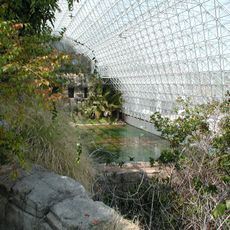
Biosphere 2
21.8 km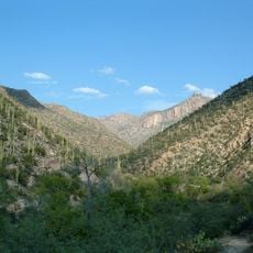
Sabino Canyon
13.1 km
Catalina State Park
16.5 km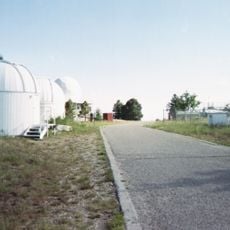
Mount Lemmon Observatory
6.4 km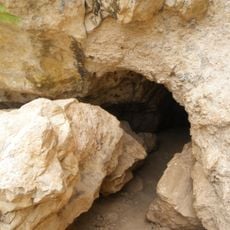
Peppersauce Cave
12.9 km
DeGrazia Gallery in the Sun Historic District
17.9 km
Tohono Chul
24.7 km
Tucson Arizona Temple
21.9 km
Bear Canyon
11.7 km
Acadia Ranch
22.4 km
Catalina Station
733 m
Golf 'n Stuff
21.6 km
Agua Caliente Regional Park
14.3 km
Thimble Peak
9 km
La Casa del High Jinks
17.9 km
Romero Canyon
14.9 km
Molino Canyon
9.8 km
Pusch Ridge Wilderness Area
10.6 km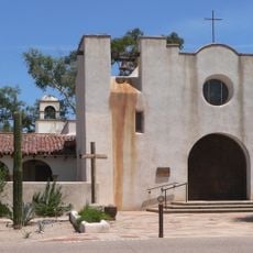
St. Philip's in the Hills Episcopal Church
24 km
The Mini Time Machine Museum
22.3 km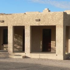
Lowell Ranger Station
13.7 km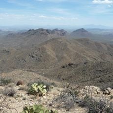
Saguaro Wilderness
23.6 km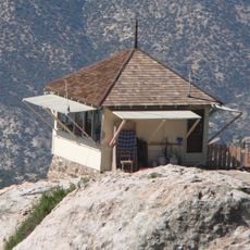
Lemmon Rock Lookout House
6.1 km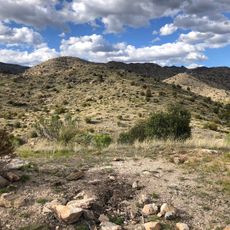
Soldier Trail Trailhead
11.3 km
SaddleBrooke One
19.7 km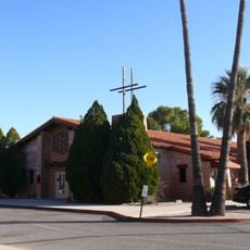
Saint Cyril of Alexandria church in Tucson
24.3 km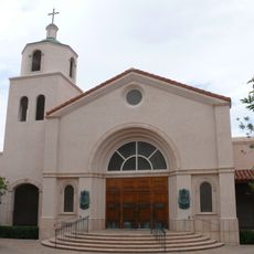
Church of Saint Thomas the Apostle in Tucson
20.2 km
Drexel House
21.7 kmReviews
Visited this place? Tap the stars to rate it and share your experience / photos with the community! Try now! You can cancel it anytime.
Discover hidden gems everywhere you go!
From secret cafés to breathtaking viewpoints, skip the crowded tourist spots and find places that match your style. Our app makes it easy with voice search, smart filtering, route optimization, and insider tips from travelers worldwide. Download now for the complete mobile experience.

A unique approach to discovering new places❞
— Le Figaro
All the places worth exploring❞
— France Info
A tailor-made excursion in just a few clicks❞
— 20 Minutes