
Lime Mountain, mountain in Maricopa County, Arizona, United States
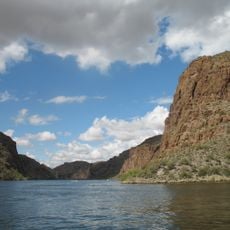
Canyon Lake
23.8 km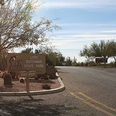
Lost Dutchman State Park
28.9 km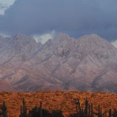
Four Peaks
21.2 km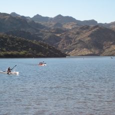
Saguaro Lake
32.2 km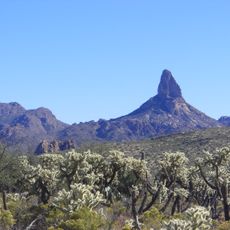
Weaver's Needle
21.1 km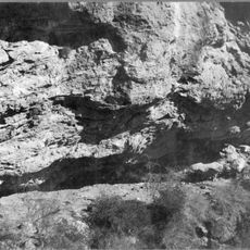
Skeleton Cave
18.1 km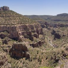
Salt River Canyon Wilderness
36.3 km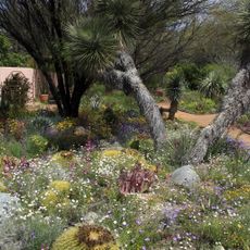
Boyce Thompson Arboretum
28.8 km
Sears-Kay Ruin
35.5 km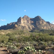
Picketpost Mountain
31.3 km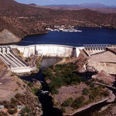
Stewart Mountain Dam
33.1 km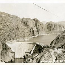
Mormon Flat Dam
24.3 km
Roosevelt Lake Bridge
15.4 km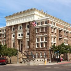
Gila County Courthouse
39.8 km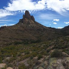
Peralta Canyon
24.1 km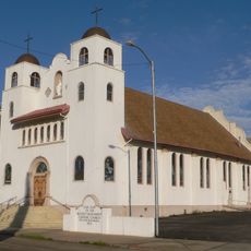
Our Lady of the Blessed Sacrament Church
32.4 km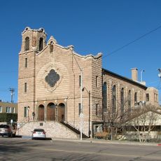
Holy Angels Church
40 km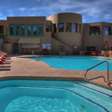
Gold Canyon Golf Resort
30.9 km
Miami Community Church
32.9 km
Tonto National Monument Visitor Center
13.6 km
Bullion Plaza Cultural Center and Museum
32.2 km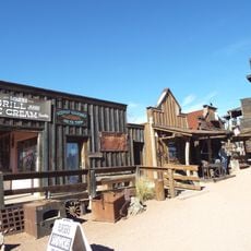
Goldfield Ghost Town
29.9 km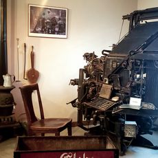
Gila County Historical Museum
38.5 km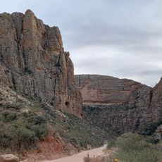
Apache Trail
36.4 km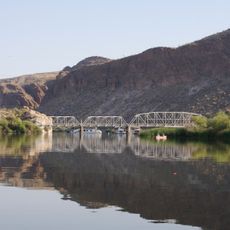
Boulder Creek Bridge
22.6 km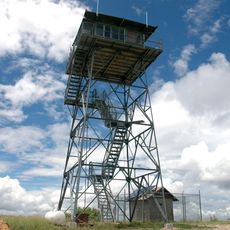
Aztec Peak Lookout
39.7 km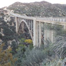
Pinto Creek Bridge
28.5 km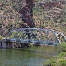
Mormon Flat Bridge
24.4 kmReviews
Visited this place? Tap the stars to rate it and share your experience / photos with the community! Try now! You can cancel it anytime.
Discover hidden gems everywhere you go!
From secret cafés to breathtaking viewpoints, skip the crowded tourist spots and find places that match your style. Our app makes it easy with voice search, smart filtering, route optimization, and insider tips from travelers worldwide. Download now for the complete mobile experience.

A unique approach to discovering new places❞
— Le Figaro
All the places worth exploring❞
— France Info
A tailor-made excursion in just a few clicks❞
— 20 Minutes