
Black River Bridge, road bridge in Gila County, Arizona
Location: Gila County
Inception: 1929
GPS coordinates: 33.71299,-110.21179
Latest update: September 23, 2025 16:46
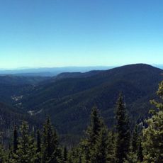
Mount Baldy
63.8 km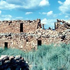
Kinishba Ruins
18.4 km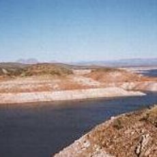
San Carlos Lake
60.3 km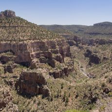
Salt River Canyon Wilderness
56.3 km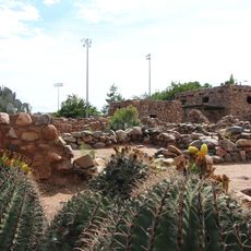
Besh-Ba-Gowah
63.7 km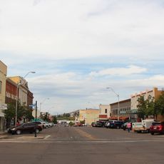
Globe Downtown Historic District
63.9 km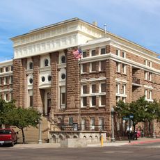
Gila County Courthouse
63.9 km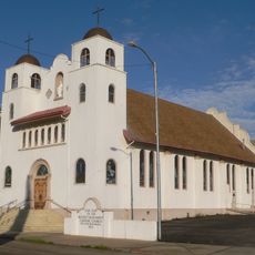
Our Lady of the Blessed Sacrament Church
70.7 km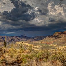
Sierra Ancha Wilderness
62.8 km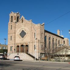
Holy Angels Church
63.9 km
Cedar Canyon Bridge
38.5 km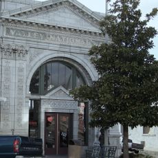
Gila Valley Bank and Trust Building
63.1 km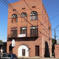
Elks Building
63.2 km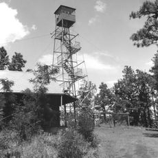
Lake Mountain Lookout Complex
64.2 km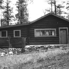
Butterfly Lodge
78.3 km
Corduroy Creek Bridge
44.2 km
Pleasant Valley Ranger Station
80.8 km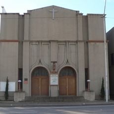
Miami Community Church
70.1 km
Globe Ranger Station
63.9 km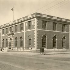
United States Post Office and Courthouse–Globe Main
64.4 km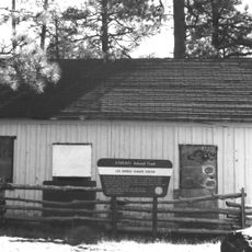
Los Burros Ranger Station
63 km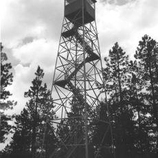
PS Knoll Lookout Complex
75.5 km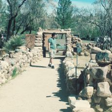
Besh-Ba-Gowah Museum
63.8 km
Tonto National Monument Visitor Center
83.8 km
Bullion Plaza Cultural Center and Museum
71.4 km
Show Low Historical Society
62.2 km
Gila County Historical Museum
63.8 km
Coolidge Dam
66.7 kmReviews
Visited this place? Tap the stars to rate it and share your experience / photos with the community! Try now! You can cancel it anytime.
Discover hidden gems everywhere you go!
From secret cafés to breathtaking viewpoints, skip the crowded tourist spots and find places that match your style. Our app makes it easy with voice search, smart filtering, route optimization, and insider tips from travelers worldwide. Download now for the complete mobile experience.

A unique approach to discovering new places❞
— Le Figaro
All the places worth exploring❞
— France Info
A tailor-made excursion in just a few clicks❞
— 20 Minutes