Enable Location

We need your location to show you interesting places around you

Discover nearby places

Find interesting locations and hidden gems around you

Precise directions

Get accurate directions and distances to places

Your location is never shared with other users. It's only used when you tap the location button.

Las Cruces

Log in to your account

Start exploring — it's free

Trusted by 62,012 travelers worldwide

Continue with Google
Continue with Apple
or

We will send you a code to connect

By continuing, you accept our Terms and Conditions and our Privacy Policy

Check your inbox

We've sent a pincode in your inbox. Please enter the code below.

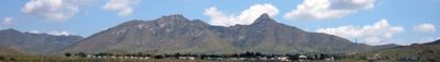
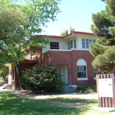
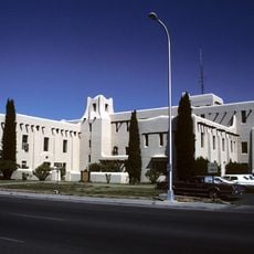
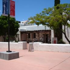
Las Cruces, County seat in New Mexico, United States.

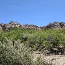
Las Cruces stretches along the Rio Grande at 3900 feet (1191 meters) elevation and is surrounded by irrigated fields growing cotton and pecan trees. The city spreads across flat terrain between gentle hills and desert plains in southern New Mexico.

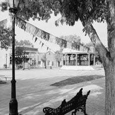
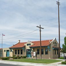
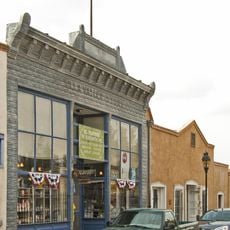
The settlement formed in 1849 after the war between Mexico and the United States and served as a crossroads for travelers between El Paso and northern territories. The railroad reached the town later and reinforced its role as a trading point in the region.

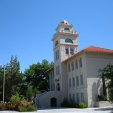
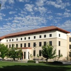
New Mexico State University grants degrees in agriculture and engineering each year and welcomes students from many states. The campus hosts research laboratories and public events throughout the academic season.

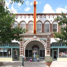
The city runs 87 parks and 18 tennis courts plus 4 golf courses distributed across the urban area. The farmers market opens every Wednesday and Saturday in the downtown district with local seasonal products.

The town borders directly on White Sands Missile Range and White Sands National Monument and combines military research with wide dune fields. Visitors can see the white sand areas from the city edge on clear days.

The community of curious travelers

AroundUs brings together thousands of curated places, local tips, and hidden gems, enriched daily by 60,000 contributors worldwide.

Start exploring
Location
Inception
1849
Elevation above the sea
1,191 m
Shares border with
Doña Ana
GPS coordinates
32.31403,-106.77981
Latest update
December 12, 2025 19:57
Around this place
Mesilla Plaza
United States of America

Mesilla Plaza

4.7 km
Rio Grande Theatre
United States of America

Rio Grande Theatre

418 m
Mesilla Valley Bosque State Park
United States of America

Mesilla Valley Bosque State Park

2.8 km
Cathedral of the Immaculate Heart of Mary
United States of America

Cathedral of the Immaculate Heart of Mary

2.1 km
Thomas Branigan Memorial Library
United States of America

Thomas Branigan Memorial Library

234 m
Wells Fargo Tower
United States of America

Wells Fargo Tower

982 m
Goddard Hall
United States of America

Goddard Hall

4.4 km
Alameda-Depot Historic District
United States of America

Alameda-Depot Historic District

396 m
Mesilla Park Elementary School
United States of America

Mesilla Park Elementary School

4.5 km
Phillips Chapel CME Church
United States of America

Phillips Chapel CME Church

593 m
United States of America

William Conroy Honors Center

4.1 km
Foster Hall
United States of America

Foster Hall

4.5 km
Nason House
United States of America

Nason House

4.1 km
Barela-Reynolds House
United States of America

Barela-Reynolds House

4.7 km
Hadley-Ludwick House
United States of America

Hadley-Ludwick House

3.8 km
Nestor Armijo House
United States of America

Nestor Armijo House

996 m
Mesilla Park Historic District
United States of America

Mesilla Park Historic District

4.6 km
Old Doña Ana County Courthouse
United States of America

Old Doña Ana County Courthouse

855 m
Branigan Cultural Center
United States of America

Branigan Cultural Center

106 m
United States of America

Pat Garrett's Grave

1.5 km
United States of America

World's Largest Chili Pepper

2.6 km
United States of America

Corbett Center Outdoor Stage

4.6 km
United States of America

New Mexico State University Art Gallery

4.2 km
United States of America

Clock Tower at NMSU

4.4 km
United States of America

1912 Murray Corliss Steam Engine Restoration Project

4.4 km
United States of America

Class of 1931 Commemorative

4.4 km
United States of America

Weston Engine Co. Painted Post NY

4.4 km
United States of America

The Traders

4.3 km
Show the full map
« Las Cruces - County seat in New Mexico, United States » is provided by Around Us (aroundus.com). Images and texts are derived from Wikimedia project under a Creative Commons license. You are allowed to copy, distribute, and modify copies of this page, under the conditions set by the license, as long as this note is clearly visible.

Discover hidden gems everywhere you go!

From secret cafés to breathtaking viewpoints, skip the crowded tourist spots and find places that match your style. Our app makes it easy with voice search, smart filtering, route optimization, and insider tips from travelers worldwide. Download now for the complete mobile experience.

Around Us App Screenshot

A unique approach to discovering new places

Le Figaro

All the places worth exploring

France Info

A tailor-made excursion in just a few clicks

20 Minutes

Around Us
Travel Guide & Maps
Download

Send to your phone

QR Code
1

Open the camera app on your mobile.

2

Point at the QR code with your camera. A notification will appear.

3

Tap the notification to open the link.