Enable Location

We need your location to show you interesting places around you

Discover nearby places

Find interesting locations and hidden gems around you

Precise directions

Get accurate directions and distances to places

Your location is never shared with other users. It's only used when you tap the location button.

Otero County

Log in to your account

Start exploring — it's free

Trusted by 62,529 travelers worldwide

Continue with Google
Continue with Apple
or

We will send you a code to connect

By continuing, you accept our Terms and Conditions and our Privacy Policy

Check your inbox

We've sent a pincode in your inbox. Please enter the code below.

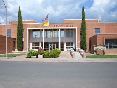
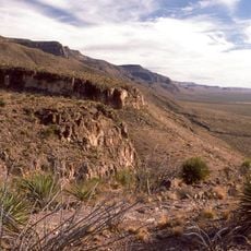
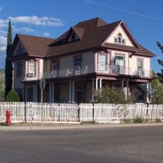
Otero County, County administrative division in New Mexico, United States.

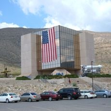
Otero County is an administrative division in south-central New Mexico that encompasses multiple municipalities and unincorporated areas. Its government operates through various departments handling law enforcement, public health, infrastructure, and land management across the territory.

The county was established in the 1800s as settlement expanded across the region. Its government framework with a board system developed to handle the growing needs of communities and land administration.

The county departments organize community programs and public meetings, fostering participation between residents and local government representatives.

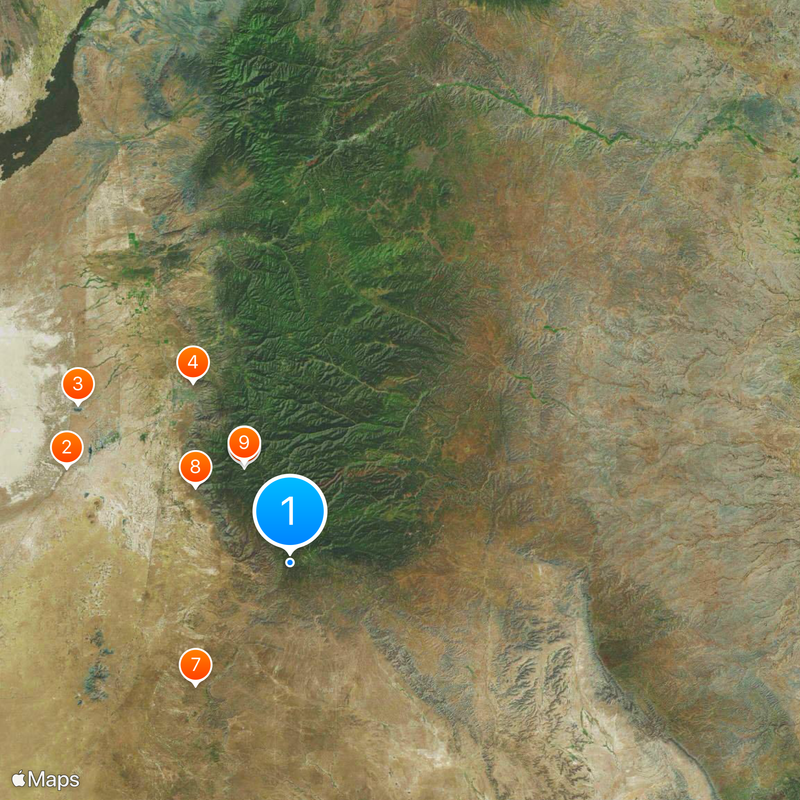
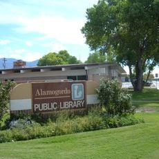
Services and offices are distributed across the county, with some locations easier to reach than others depending on where you are. Planning ahead about which services you need makes navigation simpler since facilities are spread throughout the area.

The county maintains a detention center, rifle range, and DWI supervision program while coordinating with multiple agencies to ensure public safety.

The community of curious travelers

AroundUs brings together thousands of curated places, local tips, and hidden gems, enriched daily by 60,000 contributors worldwide.

Start exploring
Location
Inception
January 30, 1899
Capital city
Alamogordo
Shares border with
Hudspeth County, El Paso County, Culberson County, Lincoln County, Chaves County, Eddy County, Sierra County, Doña Ana County
GPS coordinates
32.62000,-105.73000
Latest update
December 20, 2025 14:01
Around this place
White Sands National Park
United States of America

White Sands National Park

45 km
Holloman High Speed Test Track
United States of America

Holloman High Speed Test Track

49.2 km
New Mexico Museum of Space History
United States of America

New Mexico Museum of Space History

38 km
Apache Point Observatory
United States of America

Apache Point Observatory

19.7 km
National Solar Observatory
United States of America

National Solar Observatory

20.5 km
United States of America

Pendejo Cave

28.6 km
Oliver Lee Memorial State Park
United States of America

Oliver Lee Memorial State Park

22.4 km
Dunn Solar Telescope
United States of America

Dunn Solar Telescope

20.5 km
Mexican Canyon Trestle
United States of America

Mexican Canyon Trestle

38.3 km
Alameda Park Zoo
United States of America

Alameda Park Zoo

38.1 km
Three Rivers Petroglyph Site
United States of America

Three Rivers Petroglyph Site

85.1 km
NASA Orbital Debris Observatory
United States of America

NASA Orbital Debris Observatory

40 km
Fox Cave
United States of America

Fox Cave

86.6 km
The Toy Train Depot
United States of America

The Toy Train Depot

39.2 km
United States of America

Cathey Peak

21.9 km
Cloudcroft Observatory
United States of America

Cloudcroft Observatory

40 km
Jackson House
United States of America

Jackson House

36.7 km
Alamogordo Museum of History
United States of America

Alamogordo Museum of History

38.3 km
Flickinger Center for Performing Arts
United States of America

Flickinger Center for Performing Arts

37.9 km
United States of America

RAS Observatory of New Mexico

36.8 km
Alamogordo Public Library
United States of America

Alamogordo Public Library

37 km
United States of America

Diamond A Ranch

115.5 km
Alamogordo Woman's Club
United States of America

Alamogordo Woman's Club

37.8 km
United States of America

Flying H Ranch

70.4 km
United States of America

ISON-NM Observatory

36.8 km
United States of America

Ruidoso Lookout Tower

79.5 km
United States of America

Sacramento Peak

20.5 km
Wofford Lookout Complex
United States of America

Wofford Lookout Complex

42 km
Show the full map
Administrative divisions
« Otero County - County administrative division in New Mexico, United States » is provided by Around Us (aroundus.com). Images and texts are derived from Wikimedia project under a Creative Commons license. You are allowed to copy, distribute, and modify copies of this page, under the conditions set by the license, as long as this note is clearly visible.

Discover hidden gems everywhere you go!

From secret cafés to breathtaking viewpoints, skip the crowded tourist spots and find places that match your style. Our app makes it easy with voice search, smart filtering, route optimization, and insider tips from travelers worldwide. Download now for the complete mobile experience.

Around Us App Screenshot

A unique approach to discovering new places

Le Figaro

All the places worth exploring

France Info

A tailor-made excursion in just a few clicks

20 Minutes

Around Us
Travel Guide & Maps
Download

Send to your phone

QR Code
1

Open the camera app on your mobile.

2

Point at the QR code with your camera. A notification will appear.

3

Tap the notification to open the link.