Trans-Pecos, Desert valley region in western Texas, United States
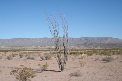
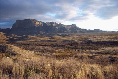
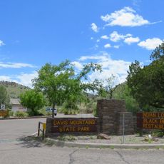
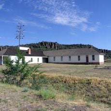
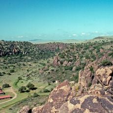
The Trans-Pecos is a valley and mountain region in western Texas that stretches between the Pecos River and El Paso, containing three national parks and large ranches. The area spans nine counties with diverse landscapes, ranging from desert plains to forested mountain slopes.
The region became better understood through geological research conducted in the late 1800s. Its significance lies in the volcanic geology that developed over millions of years, shaping the terrain we see today.
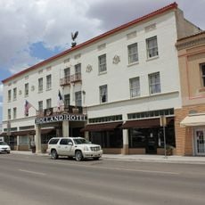
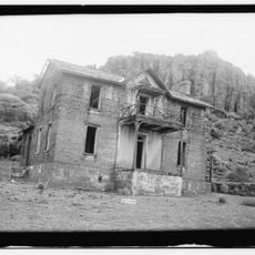
Indigenous peoples lived here for centuries, leaving behind rock art and settlement sites that visitors can still see today. Spanish conquistadors and later settlers added their own traditions, which shaped the character of communities that remain in the area.
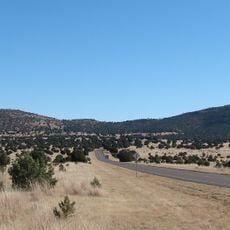
Access is through Interstate Highways 10 and 20, with El Paso serving as the largest population center in the region. The best time to explore is during late fall or early spring, when temperatures are more moderate.
The area contains several volcanic centers whose last activity ended millions of years ago. These volcanic structures shape the rugged mountain profile and give the landscape its distinctive form.
The community of curious travelers
AroundUs brings together thousands of curated places, local tips, and hidden gems, enriched daily by 60,000 contributors worldwide.