Enable Location

We need your location to show you interesting places around you

Discover nearby places

Find interesting locations and hidden gems around you

Precise directions

Get accurate directions and distances to places

Your location is never shared with other users. It's only used when you tap the location button.

Sierra County

Log in to your account

Start exploring — it's free

Trusted by 62,520 travelers worldwide

Continue with Google
Continue with Apple
or

We will send you a code to connect

By continuing, you accept our Terms and Conditions and our Privacy Policy

Check your inbox

We've sent a pincode in your inbox. Please enter the code below.

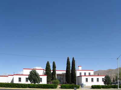
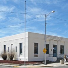
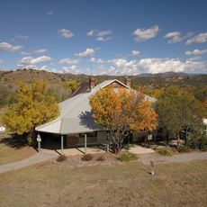
Sierra County, County administration center in Truth or Consequences, New Mexico, United States.

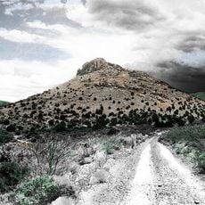
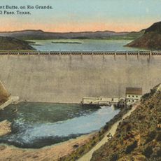
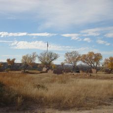
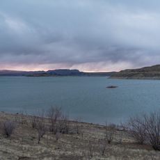
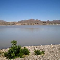
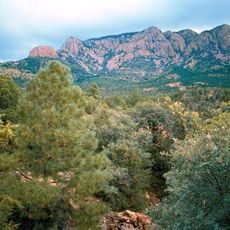
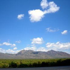
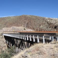
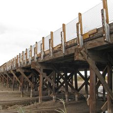
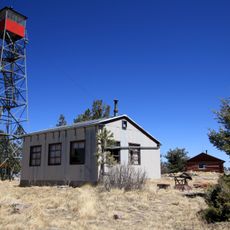
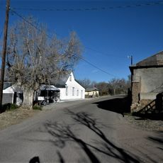
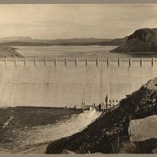
Sierra County is an administrative division in southern New Mexico that features desert landscapes, mountain ranges, and the Elephant Butte Lake. The region spans several communities and rural areas with varied terrain across its territory.

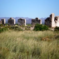
The county was established in 1884 and took its name from the Black Range mountains, which Spanish explorers called Sierra Diablo during colonial times. The region experienced gradual settlement and growth over the following decades.

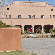
The county maintains several governmental departments, including an assessor's office, treasurer, and clerk's office, serving the diverse population of 11,576 residents.

County services are mainly available at the administrative center in Truth or Consequences, where different departments have their offices. Online systems allow residents to handle basic administrative tasks from home.

Spaceport America, a commercial space facility, is located in this region and has conducted hundreds of test flights and missions since beginning operations. The facility draws space enthusiasts and serves as a testing ground for new aerospace technologies.

The community of curious travelers

AroundUs brings together thousands of curated places, local tips, and hidden gems, enriched daily by 60,000 contributors worldwide.

Start exploring
GPS coordinates
33.11659,-107.25694
Latest update
December 7, 2025 19:26
Around this place
United States of America

Elephant Butte Reservoir

7.3 km
Bosque del Apache National Wildlife Refuge
United States of America

Bosque del Apache National Wildlife Refuge

81.4 km
Victorio Peak
United States of America

Victorio Peak

61.4 km
Fort Craig
United States of America

Fort Craig

62 km
Elephant Butte Dam
United States of America

Elephant Butte Dam

7.3 km
Prehistoric Trackways National Monument
United States of America

Prehistoric Trackways National Monument

89.6 km
Fort Selden
United States of America

Fort Selden

77.2 km
Elephant Butte Lake State Park
United States of America

Elephant Butte Lake State Park

17.1 km
United States of America

Truth or Consequences Hot Springs

1.9 km
Caballo Lake
United States of America

Caballo Lake

21.6 km
Apache Kid Wilderness
United States of America

Apache Kid Wilderness

61.5 km
Caballo Lake State Park
United States of America

Caballo Lake State Park

13.7 km
San Andres National Wildlife Refuge
United States of America

San Andres National Wildlife Refuge

83.2 km
Salinas Peak
United States of America

Salinas Peak

70.5 km
Hot Springs Bathhouse and Commercial Historic District in Truth or Consequences
United States of America

Hot Springs Bathhouse and Commercial Historic District in Truth or Consequences

1.3 km
Carrie Tingley Hospital Historic District
United States of America

Carrie Tingley Hospital Historic District

684 m
Percha Creek Bridge
United States of America

Percha Creek Bridge

39.4 km
Rio Grande Bridge at Radium Springs
United States of America

Rio Grande Bridge at Radium Springs

76.7 km
Hillsboro Peak Lookout Tower and Cabin
United States of America

Hillsboro Peak Lookout Tower and Cabin

52 km
San Lorenzo Historic District
United States of America

San Lorenzo Historic District

70.6 km
Elephant Butte Historic District
United States of America

Elephant Butte Historic District

7.4 km
L.B. Bentley General Merchandise
United States of America

L.B. Bentley General Merchandise

98.4 km
George Tambling Miller and Ninette Stocker Miller House
United States of America

George Tambling Miller and Ninette Stocker Miller House

36.4 km
Dona Ana Village Historic District
United States of America

Dona Ana Village Historic District

91 km
US Post Office-Truth or Consequences Main
United States of America

US Post Office-Truth or Consequences Main

1.5 km
John M. Webster House
United States of America

John M. Webster House

36.6 km
Will M. Robins House
United States of America

Will M. Robins House

36.7 km
Mimbres Heritage Cultural Center
United States of America

Mimbres Heritage Cultural Center

72.7 km
Show the full map
« Sierra County - County administration center in Truth or Consequences, New Mexico, United States » is provided by Around Us (aroundus.com). Images and texts are derived from Wikimedia project under a Creative Commons license. You are allowed to copy, distribute, and modify copies of this page, under the conditions set by the license, as long as this note is clearly visible.

Discover hidden gems everywhere you go!

From secret cafés to breathtaking viewpoints, skip the crowded tourist spots and find places that match your style. Our app makes it easy with voice search, smart filtering, route optimization, and insider tips from travelers worldwide. Download now for the complete mobile experience.

Around Us App Screenshot

A unique approach to discovering new places

Le Figaro

All the places worth exploring

France Info

A tailor-made excursion in just a few clicks

20 Minutes

Around Us
Travel Guide & Maps
Download

Send to your phone

QR Code
1

Open the camera app on your mobile.

2

Point at the QR code with your camera. A notification will appear.

3

Tap the notification to open the link.