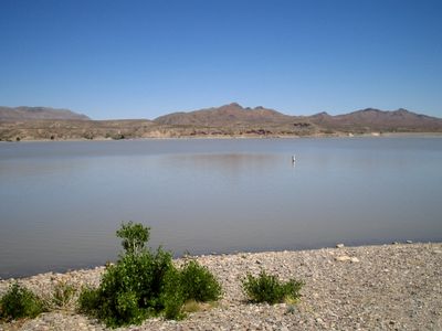
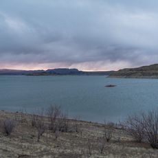
Caballo Lake State Park, State park in Sierra County, New Mexico
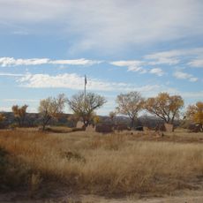
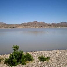
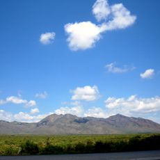
Caballo Lake State Park is a recreation area along a reservoir in Sierra County, New Mexico, set against open desert terrain and distant mountains. The grounds offer several boat launches, docking facilities, and basic services such as showers and dump stations for overnight visitors.
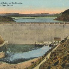
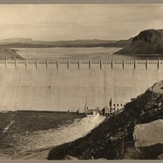
The lake was created as part of a water management project in the mid-20th century, and the park opened in 1964. Camping and boating facilities were gradually added, turning the area into a recreation spot for the surrounding region.
The four camping areas show how people in New Mexico spend time outdoors, ranging from simple tent spots to RV sites with full hookups. Anglers, families, and boaters all share the shoreline, each using the lake in their own way.
The park sits at around 4,400 feet (1,340 m) elevation, and spring and fall tend to bring the most comfortable weather for being on the water. Arriving early is a good idea, especially on weekends, as the most sought-after spots close to the shoreline fill up quickly.
Tent camping directly on the beach is allowed here, which is not the case at most other reservoirs in the region. Visitors with a boat can also reach a campsite accessible only from the water, making for an overnight stay with no road access at all.
The community of curious travelers
AroundUs brings together thousands of curated places, local tips, and hidden gems, enriched daily by 60,000 contributors worldwide.