Enable Location

We need your location to show you interesting places around you

Discover nearby places

Find interesting locations and hidden gems around you

Precise directions

Get accurate directions and distances to places

Your location is never shared with other users. It's only used when you tap the location button.

Ward County

Log in to your account

Start exploring — it's free

Trusted by 62,487 travelers worldwide

Continue with Google
Continue with Apple
or

We will send you a code to connect

By continuing, you accept our Terms and Conditions and our Privacy Policy

Check your inbox

We've sent a pincode in your inbox. Please enter the code below.

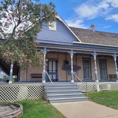
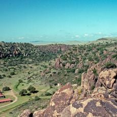
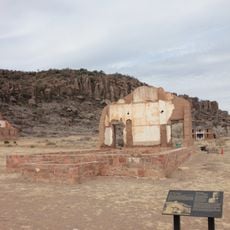
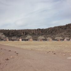
Ward County, Administrative division in North Dakota, US

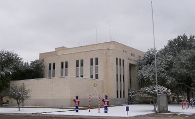
Ward County is an administrative division in North Dakota that encompasses multiple urban and rural communities within its boundaries. The region is governed by local officials who oversee property matters, public services, and infrastructure development across the area.

The county was established to create structured local governance in the region and support community development. Over time, its administrative structure has evolved to meet growing demands for public services and resource management.

The Water Resource Board meets monthly to address environmental concerns and implements strategies for water management throughout the different townships.

Visitors and residents can visit administrative offices to obtain information about property records, licenses, and permits. Online resources provide quick access to official forms and guidelines for local matters.

The county maintains specialized Geographic Information System maps that display detailed information about parcels, school districts, and flood risk zones.

The community of curious travelers

AroundUs brings together thousands of curated places, local tips, and hidden gems, enriched daily by 60,000 contributors worldwide.

Start exploring
GPS coordinates
31.50076,-103.07812
Latest update
December 7, 2025 20:47
Around this place
Balmorhea State Park
United States of America

Balmorhea State Park

91.3 km
Ratliff Stadium
United States of America

Ratliff Stadium

82.1 km
Odessa Meteor Crater
United States of America

Odessa Meteor Crater

63.5 km
Monahans Sandhills State Park
United States of America

Monahans Sandhills State Park

29.2 km
Hobby–Eberly Telescope
United States of America

Hobby–Eberly Telescope

127.6 km
Harlan J. Smith Telescope
United States of America

Harlan J. Smith Telescope

128.9 km
Loving County Courthouse
United States of America

Loving County Courthouse

54.5 km
Wagner Noël Performing Arts Center
United States of America

Wagner Noël Performing Arts Center

94.5 km
United States of America

Tunas Peak

98.6 km
Jeff Davis County Courthouse
United States of America

Jeff Davis County Courthouse

128 km
Fort Stockton Historic District
United States of America

Fort Stockton Historic District

70.9 km
White-Pool House
United States of America

White-Pool House

77.6 km
Hotel Limpia
United States of America

Hotel Limpia

127.9 km
Annie Riggs Memorial Museum
United States of America

Annie Riggs Memorial Museum

71.3 km
Rattlers and Reptiles
United States of America

Rattlers and Reptiles

126.4 km
Stonehenge replica
United States of America

Stonehenge replica

83.5 km
Rig Theatre
United States of America

Rig Theatre

29.5 km
Frank N. Bash Visitors Center
United States of America

Frank N. Bash Visitors Center

128.4 km
Ector Theatre
United States of America

Ector Theatre

77.6 km
Rio Theater
United States of America

Rio Theater

77.4 km
Fort Davis
United States of America

Fort Davis

127 km
Fort Davis National Historic Site Visitor Center
United States of America

Fort Davis National Historic Site Visitor Center

127 km
Fort Davis Enlisted Men's Barracks HB-21
United States of America

Fort Davis Enlisted Men's Barracks HB-21

126.9 km
Rebecca Gale Telescope Park Amphitheater
United States of America

Rebecca Gale Telescope Park Amphitheater

128.5 km
Fort Davis Quarters HB-14
United States of America

Fort Davis Quarters HB-14

126.8 km
Fort Davis Magazine
United States of America

Fort Davis Magazine

127.1 km
Fort Davis Post Chapel
United States of America

Fort Davis Post Chapel

126.8 km
Fort Davis Officers' Row
United States of America

Fort Davis Officers' Row

127 km
Show the full map
« Ward County - Administrative division in North Dakota, US » is provided by Around Us (aroundus.com). Images and texts are derived from Wikimedia project under a Creative Commons license. You are allowed to copy, distribute, and modify copies of this page, under the conditions set by the license, as long as this note is clearly visible.

Discover hidden gems everywhere you go!

From secret cafés to breathtaking viewpoints, skip the crowded tourist spots and find places that match your style. Our app makes it easy with voice search, smart filtering, route optimization, and insider tips from travelers worldwide. Download now for the complete mobile experience.

Around Us App Screenshot

A unique approach to discovering new places

Le Figaro

All the places worth exploring

France Info

A tailor-made excursion in just a few clicks

20 Minutes

Around Us
Travel Guide & Maps
Download

Send to your phone

QR Code
1

Open the camera app on your mobile.

2

Point at the QR code with your camera. A notification will appear.

3

Tap the notification to open the link.