Escuintla Department, Administrative department in southern Guatemala.
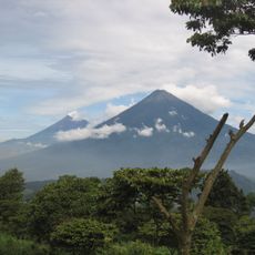
Escuintla is an administrative region in southern Guatemala stretching between Guatemala City and the Pacific Ocean, characterized by flat coastal lowlands. The area hosts important ports, industrial zones, and agricultural lands that drive the country's economy.
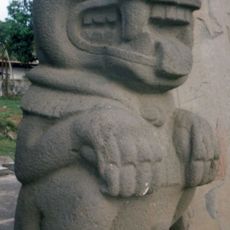
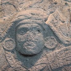
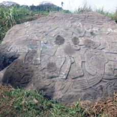
The name comes from Nahuatl and means roughly "place of many dogs" from pre-colonial times. The region was long a trading hub that later became a key area under Spanish rule for Pacific commerce.
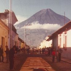
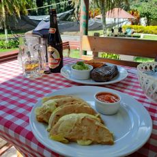
The Feast of the Immaculate Conception in December brings the region together with traditional ceremonies, lively markets filled with local products, and music performances. The celebrations show how people here maintain and pass down their traditions.
The main highways CA-2 and CA-9 run through the region and connect it easily to Guatemala City and other regional centers. Travelers should know that the hot and humid conditions of the coastal location persist year-round.
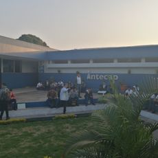
The region is one of the country's largest economic engines, with ports, factories, and plantations that together account for a large share of national production. This economic influence is not immediately obvious, but infrastructure visible throughout the region shows the intensity of these activities.
Location: Guatemala
Capital city: Escuintla
Shares border with: Suchitepéquez Department, Chimaltenango Department, Sacatepéquez Department, Guatemala Department, Santa Rosa Department
GPS coordinates: 14.29778,-90.78694
Latest update: December 20, 2025 15:14
Volcán de Fuego
22.1 km
Volcán de Agua
19.4 km
El Baúl
26.7 km
Auto Safari Chapin
28.1 km
Cotzumalhuapa
25.7 km
Bilbao
26.6 kmBalberta
22.5 kmMuseo Regional de Arqueología de la Democracia, Escuintla
18.9 km
Intecap Escuintla 1
1.8 km
Finca el barretal
17.6 kmRange Rear Puerto Quetzal Lighthouse
41.9 kmPuerto Quetzal Lighthouse
41.8 kmPhare avant du Port Quetzal
42 km
Museo el Baul
26.6 kmCerro Chiquito
22.3 kmCerro La Montaña (bolkan)
27.7 kmCerro La Mariposa
26.3 kmCerro Mal Paso (bolkan)
28.9 kmCerro Grande (bolkan sa Guatemala, Departamento de Guatemala)
23.9 kmCerro Chino (bolkan sa Guatemala, Departamento de Escuintla)
23.2 kmCerro Limón (bolkan)
26.3 kmSitío Arqueológico Las Virginias
40.1 kmLa Ceiba
15.2 kmFinca San Cayetano
16 kmMayan carved stone, next to a trail in the field
25.7 kmMayan carved stone with two heads
25.7 kmPuerto Antigua
42.5 kmMirador 3 cerro chino
21.6 kmVisited this place? Tap the stars to rate it and share your experience / photos with the community! Try now! You can cancel it anytime.
Discover hidden gems everywhere you go!
From secret cafés to breathtaking viewpoints, skip the crowded tourist spots and find places that match your style. Our app makes it easy with voice search, smart filtering, route optimization, and insider tips from travelers worldwide. Download now for the complete mobile experience.
A unique approach to discovering new places❞
— Le Figaro
All the places worth exploring❞
— France Info
A tailor-made excursion in just a few clicks❞
— 20 Minutes