Ilopango, Caldera volcano east of San Salvador, El Salvador
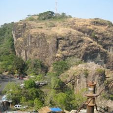
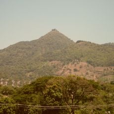
Ilopango is a caldera volcano about 12 km east of San Salvador, next to the city of Ilopango. Its caldera rim still rises roughly 100 m above the surrounding land, and inside the basin lies Lake Ilopango, 72 km² in area and up to 230 m deep at about 440 m elevation. The lake's rocky shores reach 100 to 500 m in height.
A major eruption in the 5th and 6th centuries destroyed ancient settlements in the region and reshaped the landscape. A later eruption in 1879 created new islands within the lake.
Local fishing families use traditional methods to catch mojarra and guapote fish, supporting their communities with daily catches from the crater lake. The practice shapes how people interact with the water and has been part of life here for generations.
The shoreline has resorts and recreation areas offering swimming, boat rentals, and water activities available year-round. Most facilities cluster along easily accessible sections of the coast.
The Islas Quemadas rose from the lake during the only eruption recorded in historical times, which lasted from 31 December 1879 to 26 March 1880 and reached magnitude 3. The resulting lava dome measures about 46 metres high and 152 metres across, and its summit now forms the islets.
The community of curious travelers
AroundUs brings together thousands of curated places, local tips, and hidden gems, enriched daily by 94,078 contributors worldwide.