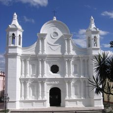
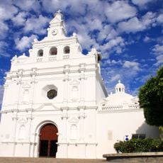
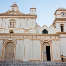
Ocotepeque, human settlement in Honduras
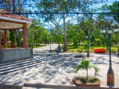
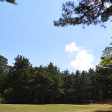
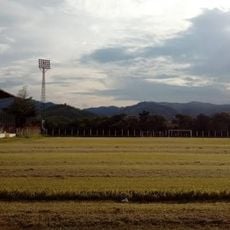
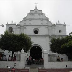
Ocotepeque is a city in Honduras located in the western part of the country near the borders with El Salvador and Guatemala. The town spreads across a hillside with colorful houses, simple structures, and small markets where residents sell fresh produce and handmade crafts.
Ocotepeque was founded in 1530 by Spanish explorers and grew into an important trading point because of its location near neighboring borders. In 1934, the town suffered severe flooding from the Marchala River but was rebuilt afterward.
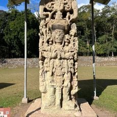
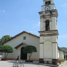
The name Ocotepeque comes from an indigenous language meaning "on the hill of the ocotes". The town is a place where residents keep their traditions alive through daily activities, from farming practices to local markets where families gather and share stories.
Visitors typically reach Ocotepeque by bus or car, crossing borders at designated points like El Poy or Agua Caliente. The town is easy to explore on foot, as most streets are quiet and traffic is light.
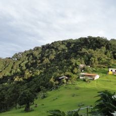
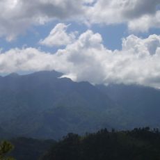
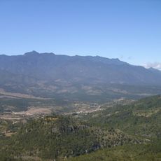
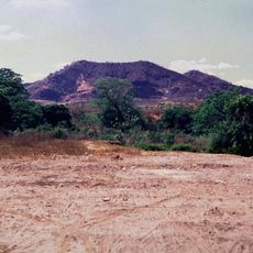
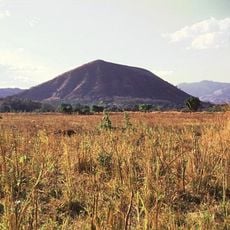
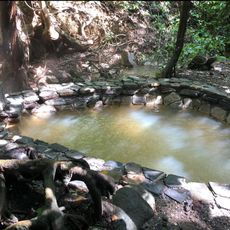
The Piedra de Cayaguanca is a large stone perched on a mountain that offers views of the valley and neighboring countries below. From the summit, visitors can see the border region and understand the geographic position of the town between Honduras and its neighbors.
The community of curious travelers
AroundUs brings together thousands of curated places, local tips, and hidden gems, enriched daily by 60,000 contributors worldwide.