Cerro El Pital, Mountain summit in Chalatenango, El Salvador.
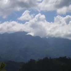
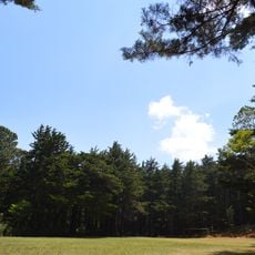
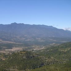
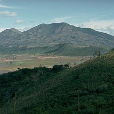
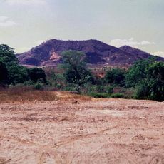
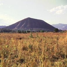
Cerro El Pital is a rounded, forest-covered summit on the El Salvador–Honduras border, reaching 2,730 meters. Its upper slopes are dense with pine, oak and cypress, while lower grassy areas hold an open-sided shelter with a dark roof and a longer white building with a red roof. The highest point, called Horqueta, marks the frontier.
Cerro El Pital lies on the El Salvador–Honduras border, and its summit area, called La Horqueta, is the boundary point marked by El Mojón. The mountain's cloud forest, with pines, oaks and cypresses, has long drawn visitors, and in January 1956 it recorded its lowest temperature. On April 13, 2004, a hailstorm blanketed much of the summit, an event still remembered locally.
People visit to experience the unusual cold weather that occurs here during winter months, a rare phenomenon in the region. The place draws those seeking to witness nature's extremes in a country where such temperatures are otherwise unknown.
The summit can be reached via different routes beginning with a paved road and continuing on dirt paths to reach the top. Start your visit early and wear sturdy footwear, as weather conditions can change quickly at this elevation.
On 13 April 2004 a storm dropped an unusual accumulation of hail that blanketed much of Cerro El Pital, drawing attention from the surrounding community. The event is still remembered locally. The summit lies on the border with Honduras, where a marker called El Mojón stands at the boundary line.
The community of curious travelers
AroundUs brings together thousands of curated places, local tips, and hidden gems, enriched daily by 92,654 contributors worldwide.