Potonico, Rural municipality in Chalatenango Department, El Salvador
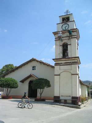
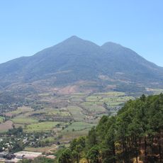
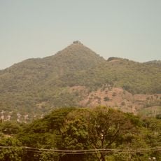
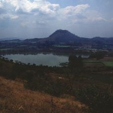
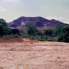
Potonico is a rural municipality in northern El Salvador situated on mountainous terrain at roughly 260 meters elevation. The area covers about 38 square kilometers of rolling hills and valleys with small settlements spread throughout.
The name derives from the Potón language, where 'Potoni' means language and 'Co' means stone, reflecting indigenous roots in the area. This naming reveals how the original inhabitants left their mark on the landscape and community identity.
The community revolves around farming traditions that shape daily life and connect families to the land through generations. Walking through the area, you notice how agriculture defines the pace of life and brings people together throughout the year.
The municipality is reached through local roads that connect to nearby cities, with access from San Salvador being straightforward. Getting around works best with guidance from locals or a guide who knows the rural pathways and smaller settlements.
This municipality shares borders with five neighboring communities, positioning it as a crossroads within the region's geography. This central location has historically shaped local trade routes and how people move between different areas.
The community of curious travelers
AroundUs brings together thousands of curated places, local tips, and hidden gems, enriched daily by 60,000 contributors worldwide.