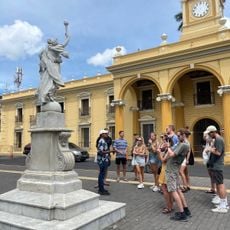
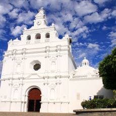
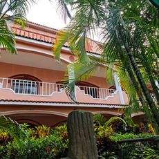
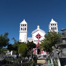
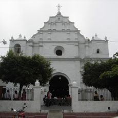
Jutiapa Department, Department capital in southeastern Guatemala.
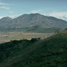
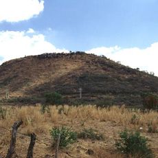
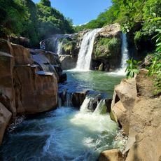
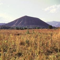
Jutiapa is a region in southeastern Guatemala stretching across roughly 3,200 square kilometers between the Pacific Ocean and El Salvador. The territory contains seventeen municipalities organized across varied terrain that defines the southern border area.
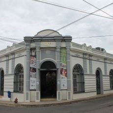
The region experienced significant transformation in the 1950s when military activities reshaped the country's political landscape. This period marked a turning point that influenced development for decades to come.
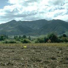
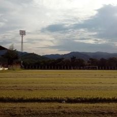
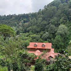
The people here maintain strong ties to agricultural work, which shapes daily life and local gatherings where farmers trade livestock and grains. These markets serve as important social hubs where the community meets and conducts business.
The region sits roughly 120 kilometers from the capital and is well connected by direct roads to the main city and neighboring areas. Elevation varies across the territory, so visitors should prepare for changing weather conditions depending on location.
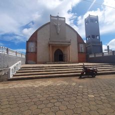
This region stands apart from other parts of Guatemala because its original population does not have Maya ancestry. This demographic distinction makes it unusual within the country's overall cultural makeup.
Location: Guatemala
Capital city: Jutiapa
Shares border with: Santa Ana Department, Ahuachapán Department, Jalapa Department, Chiquimula Department, Santa Rosa Department
GPS coordinates: 14.28278,-89.89250
Latest update: December 7, 2025 10:06
Tazumal
41.2 km
Santa Ana Volcano
55.8 km
Santa Ana Cathedral, El Salvador
48.5 km
El Imposible National Park
49.6 km
Casa Blanca, El Salvador
40.5 km
Chingo
25.6 km
National Theatre of Santa Ana
48.3 km
Estadio Óscar Quiteño
48.8 km
Parque Libertad
48.4 km
Suchitan
13.4 km
El Trapiche
40 km
Santa Teresa Hot Springs.
43.1 km
Culma
2.3 km
Estadio Jorge Calero Suárez
48.2 km
Tahual
16.4 km
Iglesia de San Pedro Apóstol
48.3 km
Salto Malacatiupán
33.4 km
Teatro Nacional de Santa Ana
48.3 km
Casa Blanca Archaeological Site
40.6 km
Estadio La Asunción
20.2 km
Arena y Sol
2.4 km
Cerro Singüil
38 km
Parque Central Moyuta
34.1 km
Centro para la Cultura y las Artes "Dr. Alfredo Espino"
40.5 km
Catarata de Urlanta
38.8 km
Iglesia Juayua
51.5 km
Iglesia del Calvario
48.3 km
Los Volcanes Sector Los Andes National Park
54.6 kmVisited this place? Tap the stars to rate it and share your experience / photos with the community! Try now! You can cancel it anytime.
Discover hidden gems everywhere you go!
From secret cafés to breathtaking viewpoints, skip the crowded tourist spots and find places that match your style. Our app makes it easy with voice search, smart filtering, route optimization, and insider tips from travelers worldwide. Download now for the complete mobile experience.
A unique approach to discovering new places❞
— Le Figaro
All the places worth exploring❞
— France Info
A tailor-made excursion in just a few clicks❞
— 20 Minutes