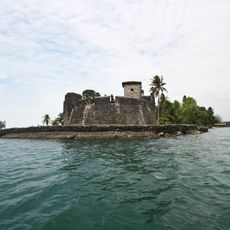
Quiriguá, Archaeological site in Izabal Department, Guatemala
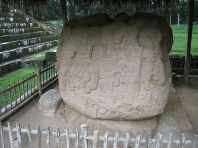
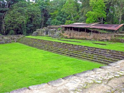
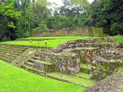
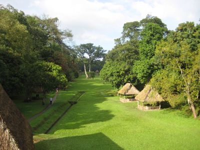
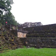
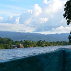
Quiriguá is an archaeological complex with numerous stone monuments, including stelae and zoomorphic altars distributed across multiple elevated plazas and terraces. The site spreads across land covered in dense tropical vegetation, with the carved stones rising among trees and thick greenery.
The settlement began as a small trading post and grew into a powerful kingdom between 250 and 900 CE. Its greatest achievement was defeating the neighboring city of Copán, which greatly increased its political influence in the region.
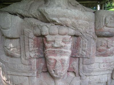
The stone carvings record stories of Maya leaders and their power struggles through carefully carved glyphs. For the people who lived here, these monuments served as a way to preserve their most important events and victories.
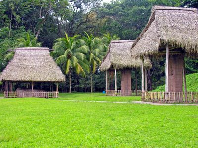
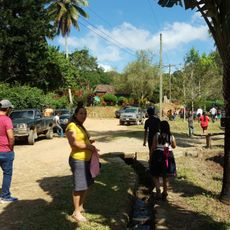
The best way to explore the site is on foot along the paths between the monuments, which wind through the tropical surroundings. Wear sturdy shoes and bring water, as the heat and humidity are intense and vegetation can be overgrown.
Stela E rises to about 10.6 meters, standing as the tallest carved stone monument ever erected in pre-Columbian America. This extraordinary size shows the technical skill and ambition of the Maya craftspeople who shaped these massive blocks.
Location: Izabal Department
GPS coordinates: 15.26944,-89.04028
Latest update: December 12, 2025 05:20
Guatemala offers photographers a mix of pre-Columbian sites, volcanic landscapes, and colonial buildings. The geography ranges from highland towns to rainforests and coastal areas along the Pacific and Caribbean. Ancient Maya temples stand alongside Spanish-era churches, while indigenous markets and...
Guatemala contains several photographic subjects within its borders. Maya ruins such as Tikal, Yaxha and Quiriguá stand in the tropical forests of Petén and Izabal. Colonial architecture appears in Antigua Guatemala, where the Santa Catalina Arch and painted facades line cobblestone streets. Lake...
Castillo de San Felipe de Lara
41.3 km
Puente de Río Dulce
43.3 km
El Puente
32 km
Cerro Azul de Copán National Park
21 km
Macaw mountain bird park
47.9 km
Museo
540 m
Rio Dulce National Park
41.5 km
Sierra de las Minas biosphere reserve
28.3 km
Finca El Cisne
26.5 km
Bruno’s Marina
43.7 km
Palace of the skyband bench
48.4 km
Plaza D
48.7 km
Cascada de Rubí
43.6 km
Las Sepulturas entrance
48.4 km
Grupo Residencial
48.7 km
Plaza H
48.7 km
Parque Central
42.5 km
Plaza B
48.7 km
Las sepulturas
48.8 km
Casa del Escribano
48.8 km
Playa Pataxte
29.6 km
Ballcourt
76 m
Statue, Work of art
43.4 km
Scenic viewpoint
42.3 km
Torre del Shaman
45 km
Astillero Magdalena
41.2 km
Finca el Paraiso
40.1 km
Cascada Caliente
40.1 kmVisited this place? Tap the stars to rate it and share your experience / photos with the community! Try now! You can cancel it anytime.
Discover hidden gems everywhere you go!
From secret cafés to breathtaking viewpoints, skip the crowded tourist spots and find places that match your style. Our app makes it easy with voice search, smart filtering, route optimization, and insider tips from travelers worldwide. Download now for the complete mobile experience.
A unique approach to discovering new places❞
— Le Figaro
All the places worth exploring❞
— France Info
A tailor-made excursion in just a few clicks❞
— 20 Minutes