
Pavón, district in Golfito canton, Puntarenas province, Costa Rica
Location: Golfito Canton
Inception: January 13, 1993
Elevation above the sea: 40 m
GPS coordinates: 8.29808,-83.01860
Latest update: March 29, 2025 02:59
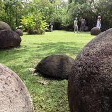
Stone spheres of Costa Rica
84.9 km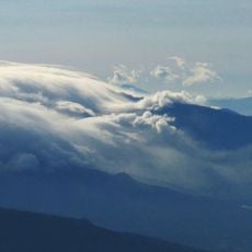
Volcan Baru
77.3 km
Corcovado National Park
68.2 km
Volcán Barú National Park
80.6 km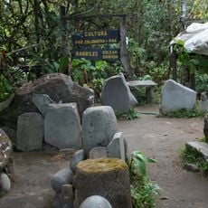
Barriles
66 km
Piedras Blancas National Park
52.1 km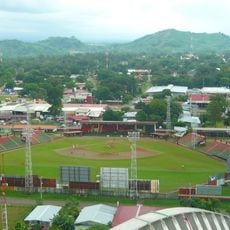
Estadio Kenny Sarracín
67.5 km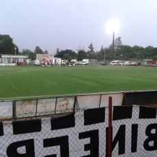
Estadio San Cristóbal
64.9 km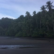
Osa Wildlife Sanctuary
53.2 km
Lucero Golf Country Club
83.9 km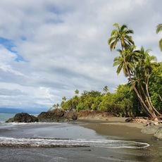
Playa Pavones
16.9 km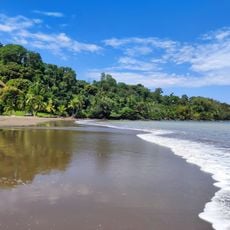
Playa Colorada
83.7 km
Playa Piro
36.4 km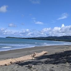
Playa Tamales
33.7 km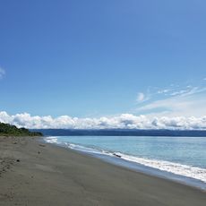
Playa Platanares
38.6 km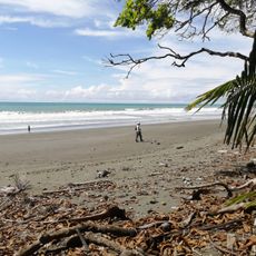
Playa Carate
49.3 km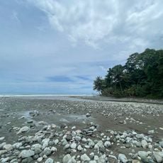
Playa Madrigal
56.1 km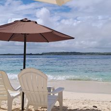
Playa Sombrero
31.7 km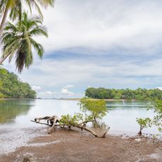
Playa Ganado
85 km
Antigua Estación del Ferrocarril de Bugaba
49.8 km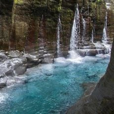
Macho de Monte Cascadas
62.6 km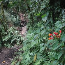
Sendero Los Quetzales
81 km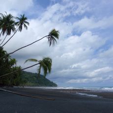
Playa Banco
13.6 km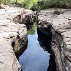
Los Cangilones de Gualaca
83.8 km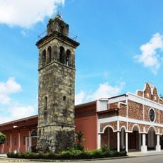
Catedral de San José de David
67.2 km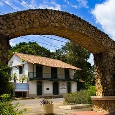
Residencia de José de Obaldía
67.1 km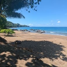
Cocalito
85.2 km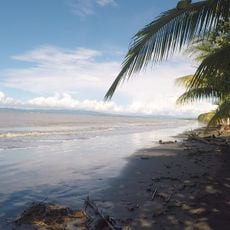
Playa El Atrocho
35.3 kmReviews
Visited this place? Tap the stars to rate it and share your experience / photos with the community! Try now! You can cancel it anytime.
Discover hidden gems everywhere you go!
From secret cafés to breathtaking viewpoints, skip the crowded tourist spots and find places that match your style. Our app makes it easy with voice search, smart filtering, route optimization, and insider tips from travelers worldwide. Download now for the complete mobile experience.

A unique approach to discovering new places❞
— Le Figaro
All the places worth exploring❞
— France Info
A tailor-made excursion in just a few clicks❞
— 20 Minutes