Veraguas Province, Province on Panama's Pacific and Caribbean coasts, Panama
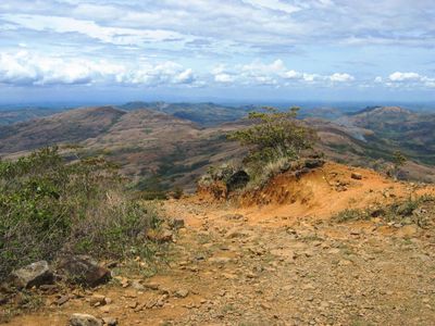
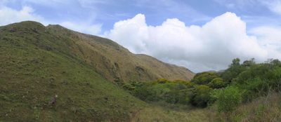
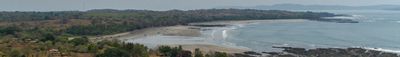
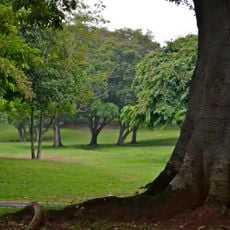
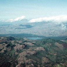
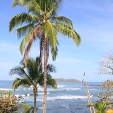
Veraguas is a province in central Panama that reaches both the Caribbean coast to the north and the Pacific shore to the south. Mountains divide the territory into two climate zones, with forests in the interior and sandy beaches along both coasts.
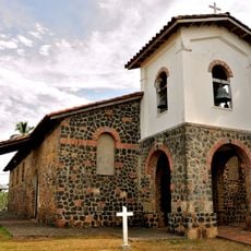
Christopher Columbus reached this coast in 1502 during his fourth voyage and named the region after Chief Veragua. The province was established in 1560 and grew into an agricultural center during the colonial period.
The Ngäbe-Buglé live in highland communities and weave colorful bags sold at markets in Santiago. Fishermen bring daily catch to Pacific beaches where families mend nets beside wooden boats pulled onto the sand.
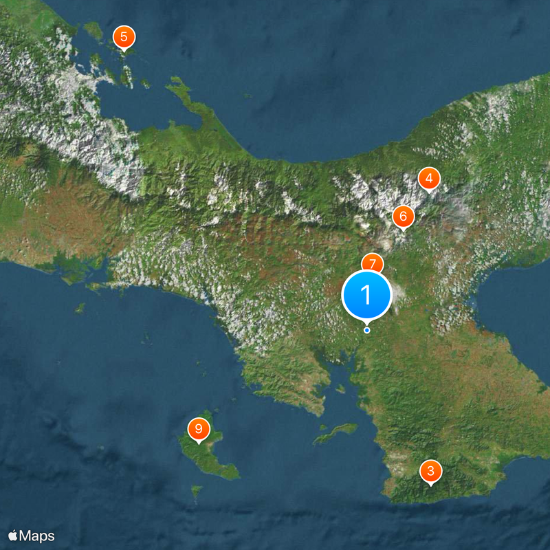
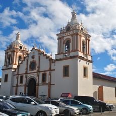
Santiago de Veraguas sits on the Pan-American Highway and offers buses to beaches and mountain villages plus lodging for travelers. Roads to remote coasts can become difficult during rain, so it helps to plan extra time.
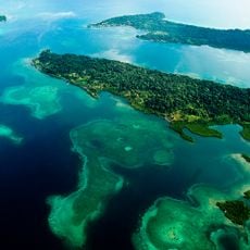
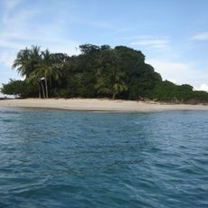
Coiba National Park offshore contains coral reefs that shelter more than 760 fish species and rank among the largest in the eastern Pacific. The island served as a penal colony until 2004, which helped keep its forests nearly untouched.
Location: Panama
Capital city: Santiago de Veraguas
Shares border with: Ngöbe-Buglé Comarca, Colón Province
Website: http://veraguas.org
GPS coordinates: 8.00000,-81.00000
Latest update: December 4, 2025 23:40
Sarigua National Park
58.7 km
Normal School of Santiago
11.7 km
General Division Omar Torrijos Herrera National Park
78.7 km
Bastimentos Island National Marine Park
191.5 km
La Yeguada
55.3 km
Iglesia de San Francisco de la Montaña
27.5 km
Iglesia de Santiago Apóstol
65 km
St. James the Apostle Cathedral, Santiago de Veraguas
11 km
Saint Dominic Church of Parita
52.9 km
Estadio Kenny Sarracín
164.4 km
Estadio San Cristóbal
165.7 km
El Caño Archaeological Park
65 km
St. John Baptist Cathedral, Penonomé
91.4 km
Capilla de San Juan de Dios
65 km
Coiba
104.6 km
Lucero Golf Country Club
172.9 km
Santa Catalina Beach
49.9 km
Casa Museo Manuel F. Zárate
81.6 km
Church of Saint Michael
62.2 km
Traditional architecture of Monagrillo
62.2 km
Catedral San Juan Bautista de Chitré
63.2 km
Plaza de Parita
52.9 km
Catedral de San José de David
163.6 km
Residencia de José de Obaldía
163.8 km
Catedral de San Juan Bautista
91.4 km
Playa Las Lajas
99 km
Escuela Normal Juan Demóstenes Arosemena
11.7 km
Los Cangilones de Gualaca
155.4 kmReviews
Visited this place? Tap the stars to rate it and share your experience / photos with the community! Try now! You can cancel it anytime.
Discover hidden gems everywhere you go!
From secret cafés to breathtaking viewpoints, skip the crowded tourist spots and find places that match your style. Our app makes it easy with voice search, smart filtering, route optimization, and insider tips from travelers worldwide. Download now for the complete mobile experience.
A unique approach to discovering new places❞
— Le Figaro
All the places worth exploring❞
— France Info
A tailor-made excursion in just a few clicks❞
— 20 Minutes