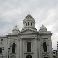
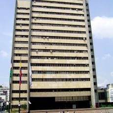
Comuna 10, Administrative district in Cali, Colombia.
Comuna 10 is an administrative district in southeastern Cali that covers a large area and includes several different neighborhoods. The area is shaped by major transport routes like Autopista Sur and connects various parts of the city together.
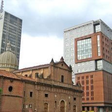
The area grew rapidly in the late 20th century as it transformed from the city's edges into an integrated part of Cali. This change brought organized streets and connections that linked this community with the rest of the city.
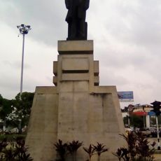
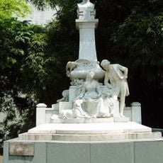
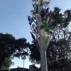
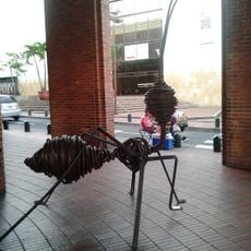
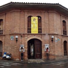
Local markets and street art in neighborhoods like Santa Elena and El Guabal show how residents express their creativity. These public spaces are where the community gathers and makes the area feel alive.
The area is well connected through several transport lines of the MIO system that use the main routes. To explore this area, it helps to keep the main roads in mind, as they make it easier to find your way around.
The district maintains a detailed record of every tree and plant within its boundaries for environmental tracking. This database helps protect and manage the green spaces that make the area livable.
The community of curious travelers
AroundUs brings together thousands of curated places, local tips, and hidden gems, enriched daily by 60,000 contributors worldwide.