
Playa Santa Ana, Colombia
Location: Valle del Cauca Department
Elevation above the sea: 20 m
GPS coordinates: 3.71667,-77.18333
Latest update: March 13, 2025 06:36
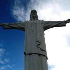
Christ the King statue
76.3 km
Cerro de Las Tres Cruces
73.7 km
El Gato del Rio
76.9 km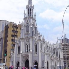
Ermita de Cali
78 km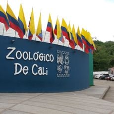
Cali Zoo
75.6 km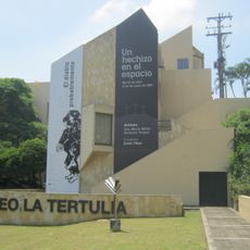
La Tertulia Museum
76.8 km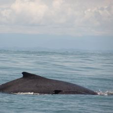
Uramba Bahía Málaga National Natural Park
31.9 km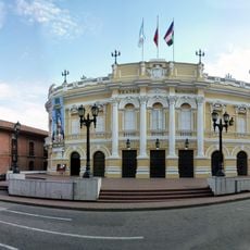
Teatro Municipal Enrique Buenaventura
77.9 km
Iglesia de San Francisco, Cali
78 km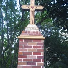
Parque Artesanal Loma de La Cruz
78 km
Centro Cultural de Cali
77.8 km
Teatro Jorge Isaacs
78 km
Calima Gold Museum
77.8 km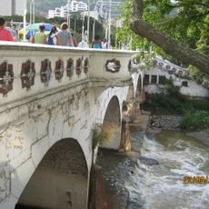
Puente Ortiz
77.9 km
Museo arqueológico La Merced
77.7 km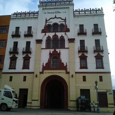
Edificio Coltabaco
78 km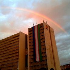
Centro Administrativo Municipal
77.8 km
Caliwood museum
76.6 km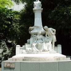
Monumento a Jorge Isaacs
77.9 km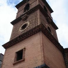
Torre Mudéjar
78 km
Biblioteca del Centenario
77 km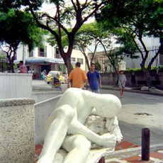
Guerrero en reposo
77.8 km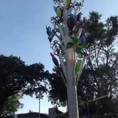
Monumento a la Maceta
77.5 km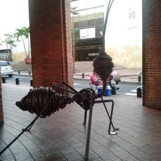
La Hormiga
77.8 km
Proartes House
77.8 km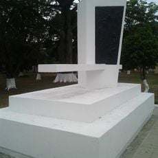
Monument to the Ciudades Confederadas del Valle del Cauca
78 km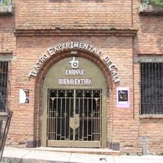
Teatro Experimental de Cali
78 km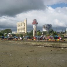
Buenaventura Lighthouse
22.3 kmVisited this place? Tap the stars to rate it and share your experience / photos with the community! Try now! You can cancel it anytime.
Discover hidden gems everywhere you go!
From secret cafés to breathtaking viewpoints, skip the crowded tourist spots and find places that match your style. Our app makes it easy with voice search, smart filtering, route optimization, and insider tips from travelers worldwide. Download now for the complete mobile experience.

A unique approach to discovering new places❞
— Le Figaro
All the places worth exploring❞
— France Info
A tailor-made excursion in just a few clicks❞
— 20 Minutes