
San Bernardo, Cundinamarca, Colombian municipality of the department of Cundinamarca
Location: Cundinamarca Department
Elevation above the sea: 1,600 m
Website: http://www.sanbernardo-cundinamarca.gov.co/index.shtml
Website: http://sanbernardo-cundinamarca.gov.co
GPS coordinates: 4.17889,-74.42222
Latest update: June 23, 2025 13:44

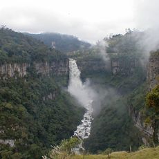
Tequendama Falls
46.4 km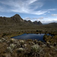
Sumapaz Paramo
44.5 km
Casa de Nariño
60.1 km
Tequendama Falls Museum
47.3 km
General Archive of the Nation
60 km
Parque Mundo Aventura
58.7 km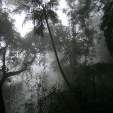
Chicaque Nature Park
49.5 km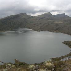
Sumapaz Natural Park
44.5 km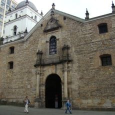
Iglesia de San Agustín, Bogotá
60 km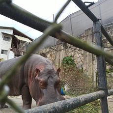
Santacruz zoo
46.1 km
Parque Metropolitano El Tunal
54.5 km
Tercer Milenio Park
60 km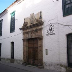
Museum of Colonial Art
60.4 km
Villa Mayor
56.6 km
Estadio Luis Carlos Galán Sarmiento
50.7 km
Claustro de San Agustín
60 km
Parque Metropolitano Bosque de San Carlos
55.9 km
Camarín del Carmen
60.3 km
Fundación Casa Rafael Pombo
60.3 km
Villa Mayor Park
57.1 km
Santa Clara Museum
60.2 km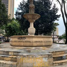
Monumento al Mono de la Pila
60.4 km
Archeological Museum of Pasca
19.8 km
Iglesia de Nuestra Señora del Carmen, Bogot
60.2 km
Coliseo Cayetano Cañizares
57.6 km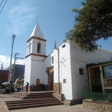
Parque Usme Pueblo
46.8 km
Lac Chisaca
35.9 km
Old Train Station
44.9 kmReviews
Visited this place? Tap the stars to rate it and share your experience / photos with the community! Try now! You can cancel it anytime.
Discover hidden gems everywhere you go!
From secret cafés to breathtaking viewpoints, skip the crowded tourist spots and find places that match your style. Our app makes it easy with voice search, smart filtering, route optimization, and insider tips from travelers worldwide. Download now for the complete mobile experience.

A unique approach to discovering new places❞
— Le Figaro
All the places worth exploring❞
— France Info
A tailor-made excursion in just a few clicks❞
— 20 Minutes