Enable Location

We need your location to show you interesting places around you

Discover nearby places

Find interesting locations and hidden gems around you

Precise directions

Get accurate directions and distances to places

Your location is never shared with other users. It's only used when you tap the location button.

Chapinero

Log in to your account

Start exploring — it's free

Trusted by 63,127 travelers worldwide

Continue with Google
Continue with Apple
or

We will send you a code to connect

By continuing, you accept our Terms and Conditions and our Privacy Policy

Check your inbox

We've sent a pincode in your inbox. Please enter the code below.

Discussion Reviews 4 Photos
65.1k Popularity

Chapinero, Urban locality in northern Bogotá, Colombia

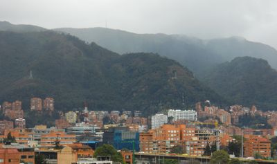
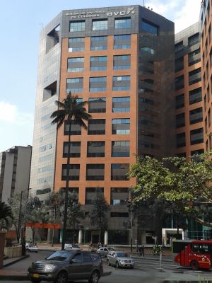
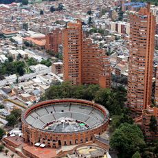
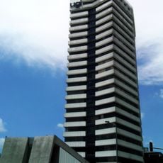
Chapinero is a district in northern Bogotá that stretches from Calle 39 to Calle 100 along the eastern hills. The area combines residential neighborhoods with business districts and educational centers at an elevation of about 2,600 meters (8,530 feet).

People began moving to this area starting in 1812 as the city expanded northward. The district grew steadily and developed into an important residential and educational center of the capital.

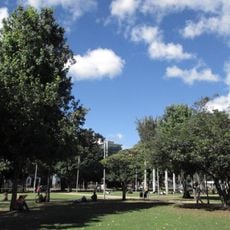
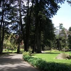
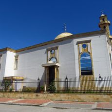
This district takes its name from craftspeople who made chapines, special shoes for people with particular walking needs. Today it connects residential neighborhoods with universities and hospitals, while small parks are scattered throughout the area.

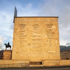
Main roads and TransMilenio lines connect the district with the rest of the city, with Avenida Caracas forming the western boundary. Access to the eastern hills is available through several side streets that branch from the center.

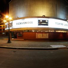
The Zona Rosa area in the south attracts many visitors at night, with bars and clubs focusing on the LGBTQ+ community. This part of the district also features restaurants and cafés that stay open late into the evening.

The community of curious travelers

AroundUs brings together thousands of curated places, local tips, and hidden gems, enriched daily by 60,000 contributors worldwide.

Start exploring
Location
Elevation above the sea
2,600 m
Reference
2
GPS coordinates
4.64583,-74.06333
Latest update
December 13, 2025 18:28
Reviews
Share your experience

No review yet

Discussions
Start a discussion...

No discussion yet

« Chapinero - Urban locality in northern Bogotá, Colombia » is provided by Around Us (aroundus.com). Images and texts are derived from Wikimedia project under a Creative Commons license. You are allowed to copy, distribute, and modify copies of this page, under the conditions set by the license, as long as this note is clearly visible.

Discover hidden gems everywhere you go!

From secret cafés to breathtaking viewpoints, skip the crowded tourist spots and find places that match your style. Our app makes it easy with voice search, smart filtering, route optimization, and insider tips from travelers worldwide. Download now for the complete mobile experience.

Around Us App Screenshot

A unique approach to discovering new places

Le Figaro

All the places worth exploring

France Info

A tailor-made excursion in just a few clicks

20 Minutes

Around Us
Travel Guide & Maps
Download

Send to your phone

QR Code
1

Open the camera app on your mobile.

2

Point at the QR code with your camera. A notification will appear.

3

Tap the notification to open the link.