Tunjuelo River, Major river system in southern Bogotá, Colombia
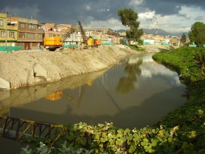
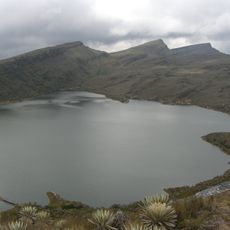
The Tunjuelo is a river in southern Bogotá that stretches roughly 73 kilometers across the highland savanna, flowing northward from the higher páramo regions. It eventually joins the Bogotá River while passing through several city districts including Usme, Ciudad Bolívar, and Tunjuelito.
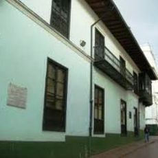
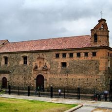
The river's name comes from Cerro de los Tunjos, referring to religious figurines created by the Muisca people before Spanish colonization. The region later became central to Bogotá's urban expansion and remains important to the city's geographic structure.
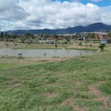
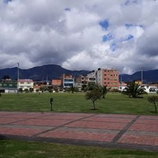
The waterway shapes daily life across several districts, with local residents recognizing it as both a natural boundary and vital habitat. The protected wetlands within its basin provide communities with access to natural resources and serve as refuges for wildlife.
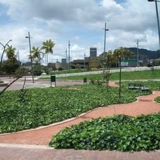
The river runs through multiple city districts and serves as a useful reference point for getting around Bogotá's southern neighborhoods. Visitors can access the riverbank from various points along its course, and walking its length reveals different sides of the city.
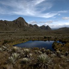
The Tunjuelo valley displays layered rock formations from different time periods, including conglomerates, sandstones, and shales characteristic of the highland plateau region. These geological features tell the story of Andean formation and are visible to visitors along the banks.
The community of curious travelers
AroundUs brings together thousands of curated places, local tips, and hidden gems, enriched daily by 60,000 contributors worldwide.