
Tunjuelito, locality of the Capital District of Bogotá, Colombia
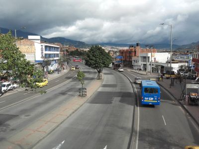
Tunjuelito is a neighborhood in Bogotá that develops along a river valley with a mix of residential areas at different densities. The district combines urban blocks with green spaces and is shaped by its proximity to the watercourse and surrounding landscapes.
The neighborhood developed as a settlement along the river and evolved over time into an organically grown city district. Its growth was tied to Bogotá's expansion during the 20th century, with the natural topography of the river valley shaping its current form.
The neighborhood takes its name from the Tunjuelito River, which flows through the area and shapes its character. Residents use the river and surrounding green spaces as part of their everyday life, with many local activities centered around these natural features.
The neighborhood is easily walkable, with many streets leading down to the river and offering various vantage points. Daytime visits are best when the area is more active and green spaces are in use by residents.
The neighborhood's name derives from the Chibcha language spoken by the region's original inhabitants. This linguistic link to pre-Columbian history remains woven into the area's daily identity.
Location: Bogotá
Elevation above the sea: 2,600 m
Website: http://tunjuelito.gov.co
GPS coordinates: 4.58222,-74.13194
Latest update: December 20, 2025 15:12
Casa de Nariño
6.2 km
National Capitol
6.4 km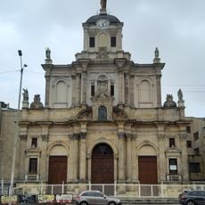
Basílica del Sagrado Corazón de Jesús, Bogotá
5.9 kmSt. Bartholomew Major College
6.5 km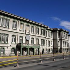
Hospital San Juan de Dios, Bogota
5.2 km
General Archive of the Nation
6.2 km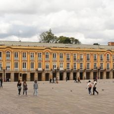
Palacio Liévano
6.4 km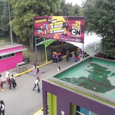
Parque Mundo Aventura
4.4 km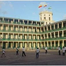
Instituto Técnico Central
5.7 km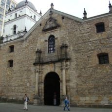
Iglesia de San Agustín, Bogotá
6.2 km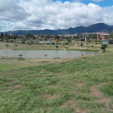
Parque Metropolitano El Tunal
882 m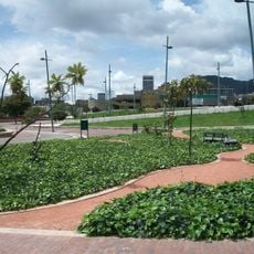
Tercer Milenio Park
5.8 km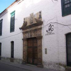
Museum of Colonial Art
6.5 km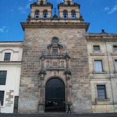
Capilla del Sagrario
6.5 km
Villa Mayor
1.4 km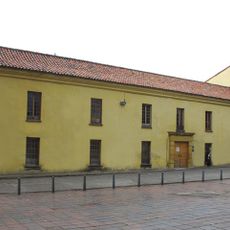
Claustro de San Agustín
6.1 km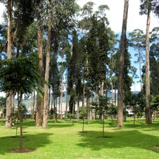
Parque Metropolitano Bosque de San Carlos
3 km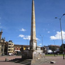
Obelisco a Los Mártires
6 km
Fundación Casa Rafael Pombo
6.4 km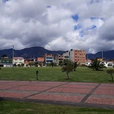
Villa Mayor Park
1.9 km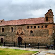
Santa Clara Museum
6.3 km
Monumento al Mono de la Pila
6.5 km
Basílica de Nuestra Señora de las Mercedes, Chinchiná
6.1 km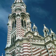
Iglesia de Nuestra Señora del Carmen, Bogot
6.5 km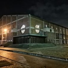
Coliseo Cayetano Cañizares
5.8 km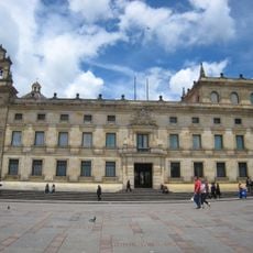
Palacio Episcopal de Bogotá
6.5 km
Museo de Trajes
6.5 km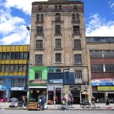
Edificio Peraza
6 kmVisited this place? Tap the stars to rate it and share your experience / photos with the community! Try now! You can cancel it anytime.
Discover hidden gems everywhere you go!
From secret cafés to breathtaking viewpoints, skip the crowded tourist spots and find places that match your style. Our app makes it easy with voice search, smart filtering, route optimization, and insider tips from travelers worldwide. Download now for the complete mobile experience.

A unique approach to discovering new places❞
— Le Figaro
All the places worth exploring❞
— France Info
A tailor-made excursion in just a few clicks❞
— 20 Minutes