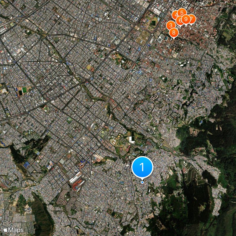
San Cristóbal, Administrative district in southeast Bogotá, Colombia.
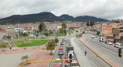
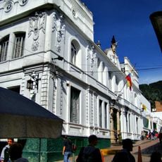
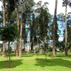
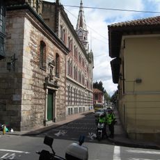
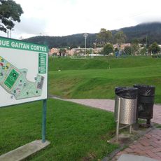
San Cristóbal is an urban district in southeast Bogotá that spreads across hilly and flat terrain rising to 2,600 meters in elevation. The area displays a mix of densely built residential streets and steep slopes that climb toward the eastern mountains.
The district emerged from the conversion of rural haciendas in the Fucha River valley that increasingly urbanized between 1940 and 1980. This shift from agricultural to urban land fundamentally shaped the district's current structure.
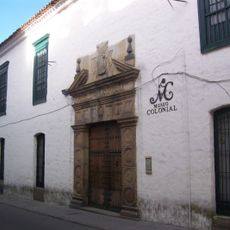
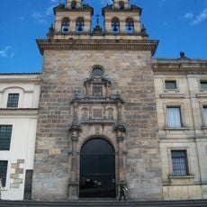
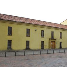
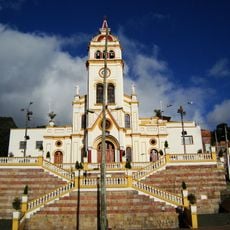
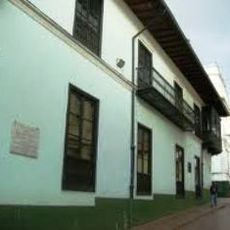
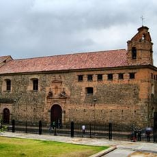
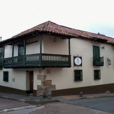
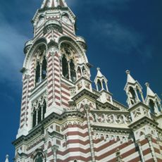
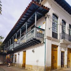
The district carries the name of Saint Christopher and is shaped by numerous churches and community centers that structure daily life for residents. People gather regularly at these places for celebrations and meetings, making the sense of community particularly visible.
Major roads like Calle 22 Sur and the Eastern Highway connect the district easily to central Bogotá, with TransMilenio providing reliable public transportation. When exploring, keep in mind that the terrain becomes steeper as you approach the eastern mountains.
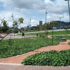
The Fucha River, also known locally as the San Cristóbal River, originates in the surrounding hills and remains a defining feature of the district's landscape. This waterway serves as both a natural boundary and a helpful landmark for visitors navigating the area.
The community of curious travelers
AroundUs brings together thousands of curated places, local tips, and hidden gems, enriched daily by 60,000 contributors worldwide.