Los Katíos National Park, Natural World Heritage Site in northwestern Colombia.
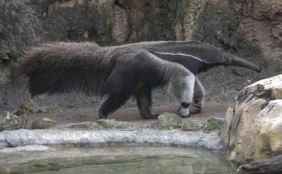
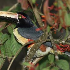
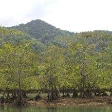
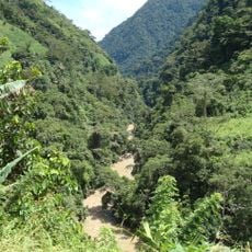
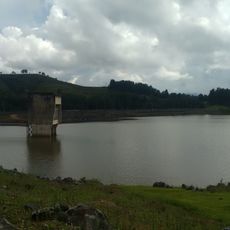
Los Katíos National Park is a protected area spanning two departments with tropical rainforest, wetlands, and mountain terrain. The land includes river floodplains where water shapes the landscape and plant life throughout the year.
The Colombian government established this national park in 1974, and by 1979 it had reached its current size of approximately 72,000 hectares. This expansion showed growing recognition of its ecological importance.
The Wounaan indigenous community Juin Phubur lives by their traditional ways in this protected land, alongside Afro-Colombian and farming communities. Each group has its own relationship with the forest and its resources.
The park administration in Sautatá offers guided tours along set trails and recommends planning ahead due to the remote location. Connecting with local rangers before your visit ensures you get the most from your time there.
The area shelters a catival forest formation where native cativo trees grow to around 50 meters tall, a forest type found in very few places worldwide. This specialized woodland is remarkable for how it develops in this corner of South America.
Location: Chocó Department
Location: Antioquia
Inception: August 6, 1974
Elevation above the sea: 4 m
Operator: Parques Nacionales Naturales
Website: https://runap.parquesnacionales.gov.co/area-protegida/112
GPS coordinates: 7.80000,-77.15000
Latest update: December 7, 2025 20:41
Sub Marine Explorer
194.5 km
Darién National Park
44.4 km
Puente de Occidente
202 km
Utría National Natural Park
203.4 km
Túnel de Occidente
232.8 km
Cerro El Picacho
239.8 km
Basílica del Señor de los Milagros, San Pedro de los Milagros
230.6 km
Peñón de Entrerríos
227.9 km
Bayano Lake
232.4 km
Basilica of Our Lady of Mercy
212.8 km
Cañón de La Llorona
127.7 km
Iglesia de Santa Bárbara, Santa Fe de Antioquia
201.3 km
Cathedral Basilica of the Immaculate Conception, Santa Fe de Antioquia
201.2 km
Cristo Salvador del Picacho
240 km
Isla Bayoneta
224.2 km
Our Lady of the Rosary of Chiquinquirá Cathedral
226.3 km
Iglesia de Nuestra Señora del Rosario de Hatoviejo
239.9 km
Basílica de Nuestra Señora de las Misericordias, Santa Rosa de Osos
226.8 km
Basílica Menor Nuestra Señora del Carmen, Frontino
160.1 km
Bayano Caves
249.9 km
Punta Patiño
127.1 km
Iglesia de la Sagrada Familia de Caucasia
216.3 km
Capilla del Señor de la Humildad, Santa Rosa de Osos
226.6 km
Capilla de la congregación de Hermanas Clarisas
227.5 km
Capilla de la Sagrada Familia
226.6 km
Lac Troneras
239.6 km
Ukumarí Biopark
117.2 km
Iglesia Pentecostal Unida de Colombia
241.1 kmVisited this place? Tap the stars to rate it and share your experience / photos with the community! Try now! You can cancel it anytime.
Discover hidden gems everywhere you go!
From secret cafés to breathtaking viewpoints, skip the crowded tourist spots and find places that match your style. Our app makes it easy with voice search, smart filtering, route optimization, and insider tips from travelers worldwide. Download now for the complete mobile experience.
A unique approach to discovering new places❞
— Le Figaro
All the places worth exploring❞
— France Info
A tailor-made excursion in just a few clicks❞
— 20 Minutes