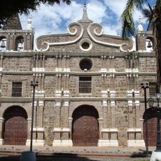
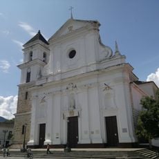
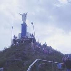
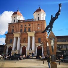
Mutatá, Municipal center in Urabá region, Colombia
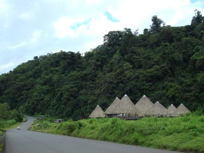
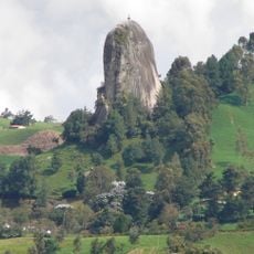
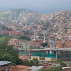
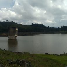
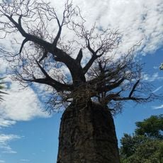
Mutatá is an administrative center in the Urabá region, situated in tropical landscape at 169 meters elevation with several rivers flowing through. The area is marked by dense vegetation that shapes the local environment.
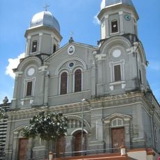
The settlement originated in 1850 as a strategic location in the Urabá region, establishing organized local governance for the first time. This foundation allowed it to develop into an administrative hub for surrounding communities.
The Embera people shape daily life here through their ceremonies and crafts, while farming families have rooted themselves in this region for many generations.
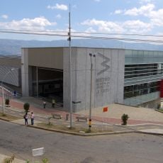
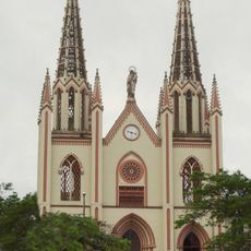
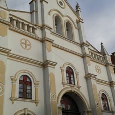
Visitors will find basic services here including hospitals, schools, and markets that support daily life. These facilities are within walking distance in the town center and easy to navigate.
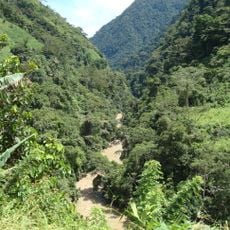
The region receives exceptional rainfall averaging over 5,000 mm per year, making specialized tropical agriculture and water management essential to daily life here. These extreme conditions shape both the landscape and how people work.
The community of curious travelers
AroundUs brings together thousands of curated places, local tips, and hidden gems, enriched daily by 60,000 contributors worldwide.