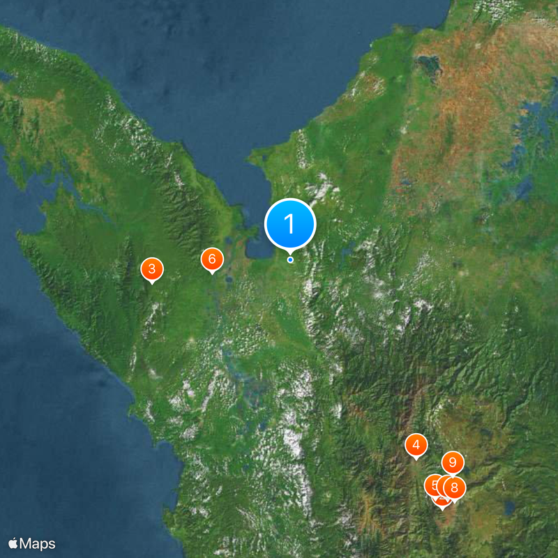
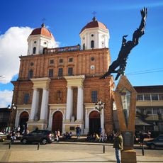
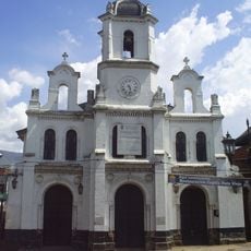
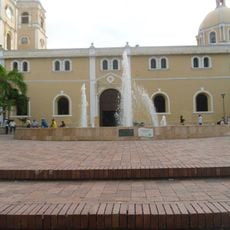
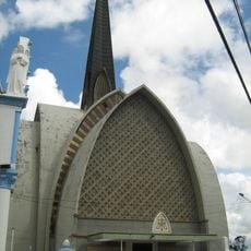
Urabá Antioquia, Subregion in northwest Antioquia Department, Colombia.
Urabá Antioquia is a subregion in the northwestern part of the Antioquia Department in Colombia. The area extends from the Caribbean Sea to the foothills of the Andes and includes eleven municipalities.
At the end of the 19th century, banana cultivation began here when companies from the United States established plantations. Later, smaller farmers arrived, expanding production and founding new settlements.
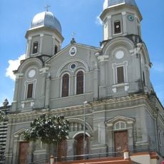
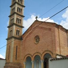
The name comes from the Gulf of Urabá, which has been a landing point for travelers for centuries. Today you see wooden houses on stilts in the towns, fishermen with small boats, and markets where fresh plantains and fish are sold.
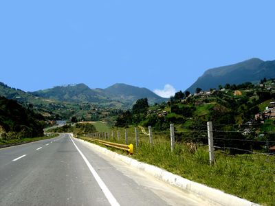
The main towns lie along paved roads, while remote villages are often reached only by dirt tracks or boats. Visitors who want to explore the area should plan enough time and be prepared for changing weather conditions.
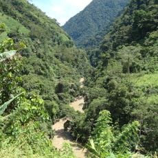
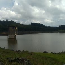
The subregion has two separate zones within the department: a coastal zone by the sea and an inland zone farther south. This division leads to different landscapes and climates within a short distance.
Location: Antioquia
GPS coordinates: 7.88333,-76.63330
Latest update: December 4, 2025 23:42
Mirador de la Comuna 13
213.6 km
Darién National Park
102.1 km
Puente de Occidente
172.1 km
Túnel de Occidente
204.9 km
Los Katíos National Park
57.7 km
Cerro El Picacho
210.3 km
Spain Library (Medellín)
213.9 km
Basílica del Señor de los Milagros, San Pedro de los Milagros
197.9 km
Peñón de Entrerríos
193.3 km
Our Lady of the Rosary Cathedral, Girardota
212.9 km
Basilica of Our Lady of Mercy
168.8 km
Cañón de La Llorona
103.3 km
Iglesia de Santa Bárbara, Santa Fe de Antioquia
172.5 km
Cathedral Basilica of the Immaculate Conception, Santa Fe de Antioquia
172.4 km
Cristo Salvador del Picacho
210.6 km
Our Lady of the Rosary of Chiquinquirá Cathedral
188.8 km
Iglesia de Nuestra Señora del Rosario de Hatoviejo
209.3 km
St. Francis of Assisi Cathedral, Sincelejo
208.7 km
Basílica de Nuestra Señora de las Misericordias, Santa Rosa de Osos
189.4 km
Basílica Menor Nuestra Señora del Carmen, Frontino
134.9 km
Library Park -Tomás Carrasquilla - La Quintana
212.2 km
Punta Patiño
178.8 km
Iglesia de la Sagrada Familia de Caucasia
158.7 km
Capilla del Señor de la Humildad, Santa Rosa de Osos
189.1 km
Capilla de la congregación de Hermanas Clarisas
190.1 km
Capilla de la Sagrada Familia
189.2 km
Lac Troneras
197.4 km
Ukumarí Biopark
59.5 kmReviews
Visited this place? Tap the stars to rate it and share your experience / photos with the community! Try now! You can cancel it anytime.
Discover hidden gems everywhere you go!
From secret cafés to breathtaking viewpoints, skip the crowded tourist spots and find places that match your style. Our app makes it easy with voice search, smart filtering, route optimization, and insider tips from travelers worldwide. Download now for the complete mobile experience.
A unique approach to discovering new places❞
— Le Figaro
All the places worth exploring❞
— France Info
A tailor-made excursion in just a few clicks❞
— 20 Minutes