Enable Location

We need your location to show you interesting places around you

Discover nearby places

Find interesting locations and hidden gems around you

Precise directions

Get accurate directions and distances to places

Your location is never shared with other users. It's only used when you tap the location button.

Log in to your account

Start exploring — it's free

Trusted by 62,090 travelers worldwide

Continue with Google
Continue with Apple
or

We will send you a code to connect

By continuing, you accept our Terms and Conditions and our Privacy Policy

Check your inbox

We've sent a pincode in your inbox. Please enter the code below.

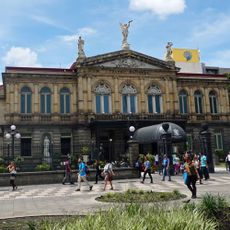
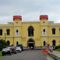
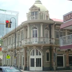
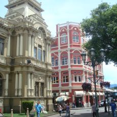
Pavas, Administrative district in San José, Costa Rica.

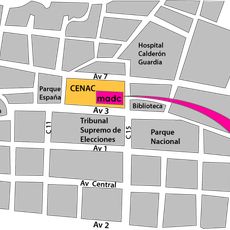
Pavas is an administrative district in San José and the largest of the canton, spanning 9.39 square kilometers. The area combines residential neighborhoods with the Tobías Bolaños Airport, which serves as the nation's main domestic aviation hub.

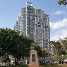
The district grew dramatically over time, evolving from a small settlement of just 732 residents in 1883 into a developed urban area. By the 2011 census, its population had surpassed 71,000 people, transforming it into a significant part of the metropolitan region.

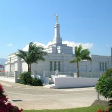
The area is home to respected international schools that draw families from around the world, shaping it into a diverse neighborhood with a cosmopolitan character. These institutions anchor the community and influence how local spaces are used throughout the day.

The area is accessible through several major highways and rail connections that link it to other parts of the region. Getting around is straightforward whether you arrive by car, local bus, or train service.

The Tobías Bolaños Airport is Costa Rica's primary domestic aviation hub, linking the region to remote areas like Tortuguero and Golfito. This role makes Pavas a transportation node that may not be immediately obvious when walking through its largely residential neighborhoods.

The community of curious travelers

AroundUs brings together thousands of curated places, local tips, and hidden gems, enriched daily by 60,000 contributors worldwide.

Start exploring
Location
Elevation above the sea
1,044 m
GPS coordinates
9.94952,-84.13917
Latest update
December 7, 2025 19:26
« Pavas - Administrative district in San José, Costa Rica » is provided by Around Us (aroundus.com). Images and texts are derived from Wikimedia project under a Creative Commons license. You are allowed to copy, distribute, and modify copies of this page, under the conditions set by the license, as long as this note is clearly visible.

Discover hidden gems everywhere you go!

From secret cafés to breathtaking viewpoints, skip the crowded tourist spots and find places that match your style. Our app makes it easy with voice search, smart filtering, route optimization, and insider tips from travelers worldwide. Download now for the complete mobile experience.

Around Us App Screenshot

A unique approach to discovering new places

Le Figaro

All the places worth exploring

France Info

A tailor-made excursion in just a few clicks

20 Minutes

Around Us
Travel Guide & Maps
Download

Send to your phone

QR Code
1

Open the camera app on your mobile.

2

Point at the QR code with your camera. A notification will appear.

3

Tap the notification to open the link.