Enable Location

We need your location to show you interesting places around you

Discover nearby places

Find interesting locations and hidden gems around you

Precise directions

Get accurate directions and distances to places

Your location is never shared with other users. It's only used when you tap the location button.

Alajuelita Canton

Log in to your account

Start exploring — it's free

Trusted by 62,090 travelers worldwide

Continue with Google
Continue with Apple
or

We will send you a code to connect

By continuing, you accept our Terms and Conditions and our Privacy Policy

Check your inbox

We've sent a pincode in your inbox. Please enter the code below.

Alajuelita Canton, Administrative canton in San José Province, Costa Rica

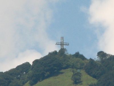
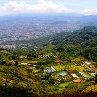
Alajuelita Canton is an administrative area in San José Province comprising five separate districts. These districts sit at about 1135 meters elevation and are named Alajuelita, San Josecito, San Antonio, Concepción, and San Felipe.

This canton was created following Costa Rica's 1848 administrative reform that reorganized the country after independence from Spain. That restructuring established the basic framework of provinces and districts still used today.

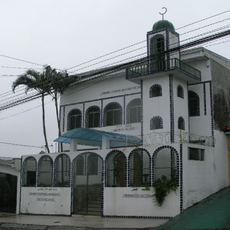
Each district here celebrates its own neighborhood festivals and religious holidays throughout the year. These gatherings show how communities maintain local traditions and bring people together.

This area is well connected by bus to downtown San José from terminals in each of the five districts. Visitors traveling here find the best flow during off-peak hours, as traffic concentrates mainly during rush times.

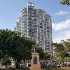
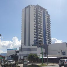
This canton functions as a residential zone while also serving as a local administrative hub. An elected council manages district affairs while maintaining close ties to the greater San José metropolitan area.

The community of curious travelers

AroundUs brings together thousands of curated places, local tips, and hidden gems, enriched daily by 60,000 contributors worldwide.

Start exploring
Capital city
Alajuelita
Elevation above the sea
1,135 m
Shares border with
Escazú Canton, Acosta Canton, Aserrí Canton, Desamparados Canton
GPS coordinates
9.89081,-84.11153
Latest update
December 7, 2025 20:41
« Alajuelita Canton - Administrative canton in San José Province, Costa Rica » is provided by Around Us (aroundus.com). Images and texts are derived from Wikimedia project under a Creative Commons license. You are allowed to copy, distribute, and modify copies of this page, under the conditions set by the license, as long as this note is clearly visible.

Discover hidden gems everywhere you go!

From secret cafés to breathtaking viewpoints, skip the crowded tourist spots and find places that match your style. Our app makes it easy with voice search, smart filtering, route optimization, and insider tips from travelers worldwide. Download now for the complete mobile experience.

Around Us App Screenshot

A unique approach to discovering new places

Le Figaro

All the places worth exploring

France Info

A tailor-made excursion in just a few clicks

20 Minutes

Around Us
Travel Guide & Maps
Download

Send to your phone

QR Code
1

Open the camera app on your mobile.

2

Point at the QR code with your camera. A notification will appear.

3

Tap the notification to open the link.