Enable Location

We need your location to show you interesting places around you

Discover nearby places

Find interesting locations and hidden gems around you

Precise directions

Get accurate directions and distances to places

Your location is never shared with other users. It's only used when you tap the location button.

Curridabat Canton

Log in to your account

Start exploring — it's free

Trusted by 62,092 travelers worldwide

Continue with Google
Continue with Apple
or

We will send you a code to connect

By continuing, you accept our Terms and Conditions and our Privacy Policy

Check your inbox

We've sent a pincode in your inbox. Please enter the code below.

Curridabat Canton, Administrative canton in San José Province, Costa Rica

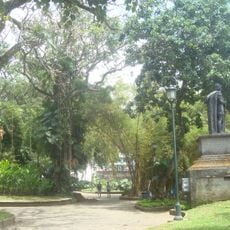
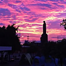
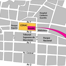
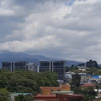
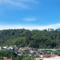
Curridabat Canton is an administrative district located southeast of San José, positioned at approximately 1,200 meters elevation in a highland area. Several national routes and a rail line traverse the region, connecting it to neighboring communities and the capital.

The canton was officially established on August 21, 1929, when the area had around 5,000 residents. It has since grown from a rural settlement into a developed suburban region.

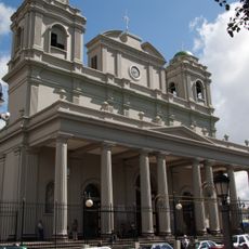
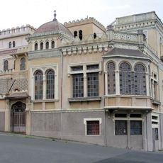
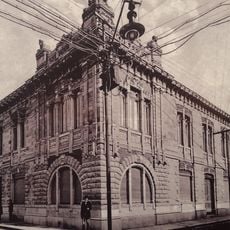
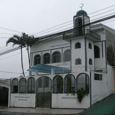
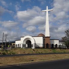
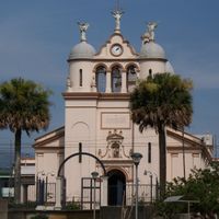
The Church of San Antonio de Padua shapes the area with its distinctive early 20th-century architecture and serves as a spiritual center for residents. It reflects the religious traditions that remain important to daily life in the district.

The canton is easily accessible via national routes that link it to nearby areas and the capital. Public rail service provides an alternative to driving and reaches different parts of the district.

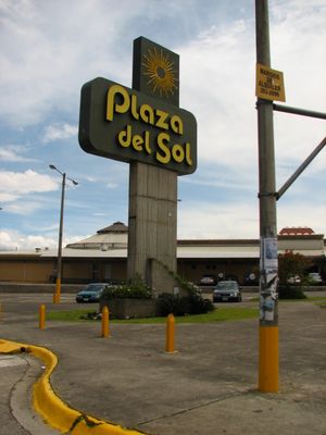
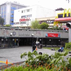
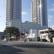
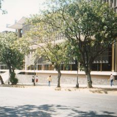
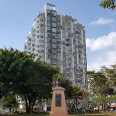
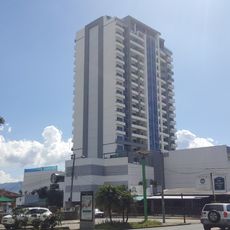
The Plaza del Sol opened in 1982 and triggered the beginning of major shopping center development in the area. This commercial transformation changed the canton from a quiet residential zone into a busy shopping destination.

The community of curious travelers

AroundUs brings together thousands of curated places, local tips, and hidden gems, enriched daily by 60,000 contributors worldwide.

Start exploring
Capital city
Curridabat
Elevation above the sea
1,208 m
Shares border with
Desamparados Canton, La Unión Canton
GPS coordinates
9.91806,-84.03333
Latest update
December 7, 2025 20:45
« Curridabat Canton - Administrative canton in San José Province, Costa Rica » is provided by Around Us (aroundus.com). Images and texts are derived from Wikimedia project under a Creative Commons license. You are allowed to copy, distribute, and modify copies of this page, under the conditions set by the license, as long as this note is clearly visible.

Discover hidden gems everywhere you go!

From secret cafés to breathtaking viewpoints, skip the crowded tourist spots and find places that match your style. Our app makes it easy with voice search, smart filtering, route optimization, and insider tips from travelers worldwide. Download now for the complete mobile experience.

Around Us App Screenshot

A unique approach to discovering new places

Le Figaro

All the places worth exploring

France Info

A tailor-made excursion in just a few clicks

20 Minutes

Around Us
Travel Guide & Maps
Download

Send to your phone

QR Code
1

Open the camera app on your mobile.

2

Point at the QR code with your camera. A notification will appear.

3

Tap the notification to open the link.