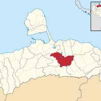
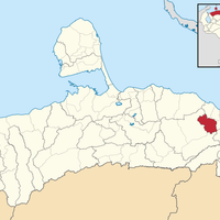
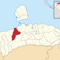
Falcón, State in northwestern Venezuela.
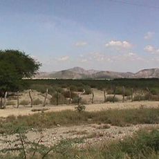
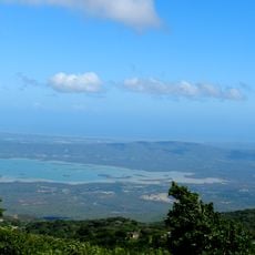
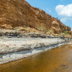
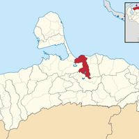
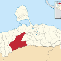
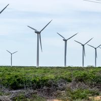
Falcón is a state in northwestern Venezuela stretching from the Caribbean coast inland toward mountain ranges, with arid landscapes in the north giving way to more fertile areas in the south. The territory features low coastal plains, elevated interior regions, and transitional zones where vegetation and terrain shift with elevation and distance from the sea.
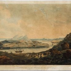
Exploration of the region began in 1499 with Juan de la Cosa and Amerigo Vespucci, followed by the founding of Coro as a settlement in 1527 that became the first European city on the mainland. These early expeditions and settlements established the foundation for the region's colonial development.
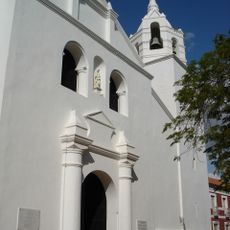
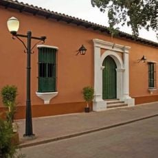
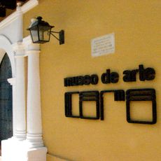
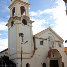
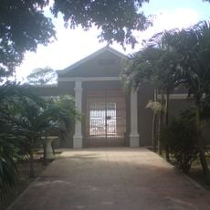
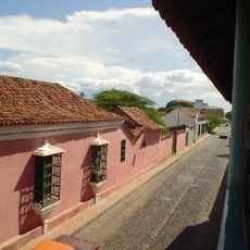
The capital Coro displays colonial-era architecture throughout its streets with colorful facades and traditional layouts that shape daily life in the city. Walking through its neighborhoods, visitors experience how residents and shops maintain these historical surroundings as part of their regular routines.
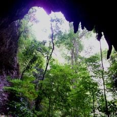
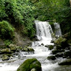
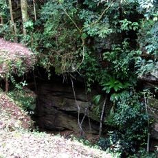
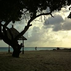
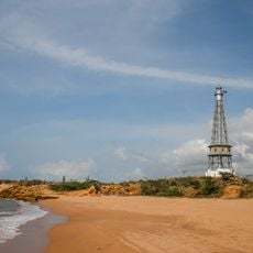
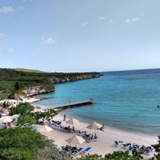
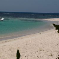
The state contains four national parks offering different natural settings: Médanos de Coro with sand dunes, Cueva de la Quebrada del Toro with cave formations, Morrocoy with beach areas, and Juan Crisóstomo Falcón with forested mountains. Visitors can choose activities based on their interests, from coastal exploration to inland hiking.
The Paraguaná Peninsula contains two major petroleum refineries at Amuay and Cardón that process large quantities of crude oil daily and represent important industrial infrastructure for the region. These facilities significantly shape the landscape and economic focus of the peninsula.
Location: Central-Western Region
Inception: 1864
Capital city: Coro
Elevation above the sea: 208 m
Shares border with: Zulia, Lara, Yaracuy, Aruba
Website: http://gobiernodefalcon.com.ve
GPS coordinates: 11.40667,-69.67778
Latest update: December 14, 2025 20:31
Cerro Santa Ana Natural Monument
54.9 km
Cueva de la Quebrada del Toro National Park
96.7 km
Juan Crisóstomo Falcón National Park
28.6 km
Cerro Saroche National Park
71.7 km
Taima-Taima
19.9 km
Coro and its Port
956 m
Montecano Biological Reservation
67.9 km
Haiton del Guarataro
28.6 km
Daaibooi
110.5 km
Blue Bay Sculpture Garden
111.3 km
Fort Piscadera
111 kmBasílica Menor Santuario Nacional de Nuestra Señora de Guadalupe del Carrizal
15.8 km
Punta Macolla Lighthouse
96.2 kmParroquia San Luis
34.2 kmFilipinas
36.8 kmParroquia Adícora
67.7 km
Basílica Catedral of St. Ann
98 m
El Isiro reservoir
9.8 km
Cape San Román lighthouse
93.9 km
Coro Synagogue
211 m
Adícora Lighthouse
61.3 km
Museo de Arte de Coro
194 m
Playa Porto Marie
111.1 km
Urumaco Formation
66.6 km
Cathedral of Our Lady of Coromoto
66.2 km
Jewish cemetery of Coro
714 m
Saint Nicholas Church
56.9 km
Coro e seu Porto
1.6 kmVisited this place? Tap the stars to rate it and share your experience / photos with the community! Try now! You can cancel it anytime.
Municipio Acosta
Municipio Bolívar
Municipio Buchivacoa
Municipio Carirubana
Municipio Colina
Municipio Dabajuro
Municipio Democracia
Municipio Falcón
Municipio Federación
Municipio Monseñor Iturriza
Municipio Jacura
Municipio Los Taques
Municipio Mauroa
Municipio Cacique Manaure
Municipio Miranda
Municipio Palma Sola
Municipio Petit
Municipio Píritu
Municipio San Francisco
Municipio Silva
Municipio Sucre
Municipio Tocópero
Municipio Unión
Municipio Urumaco
Municipio Zamora
Discover hidden gems everywhere you go!
From secret cafés to breathtaking viewpoints, skip the crowded tourist spots and find places that match your style. Our app makes it easy with voice search, smart filtering, route optimization, and insider tips from travelers worldwide. Download now for the complete mobile experience.
A unique approach to discovering new places❞
— Le Figaro
All the places worth exploring❞
— France Info
A tailor-made excursion in just a few clicks❞
— 20 Minutes