
Tlalchapa, municipality of Guerrero, Mexico
Location: Guerrero
Capital city: Tlalchapa
Elevation above the sea: 596 m
GPS coordinates: 18.42917,-100.45389
Latest update: March 3, 2025 08:22
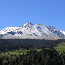
Nevado de Toluca
104.1 km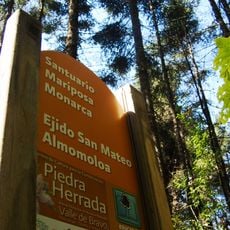
Monarch Butterfly Biosphere Reserve
108.5 km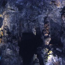
Grutas de Cacahuamilpa National Park
103.2 km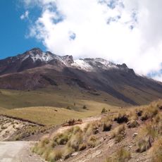
Nevado de Toluca National Park
105.2 km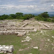
Xochipala
112.7 km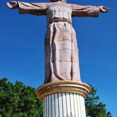
Christ sculpture in Taxco de Alarcón
90.3 km
Casa Borda
90.7 km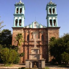
St. John the Baptist Cathedral, Ciudad Altamirano
23.7 km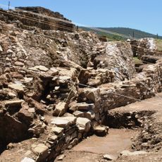
Ixcateopan
70.2 km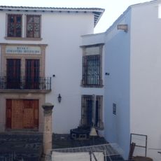
William Spratling Museum
90.6 km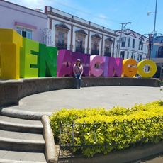
Kiosko
108.3 km
Museum of Religious Art Taxco, Casa Humboldt
90.8 km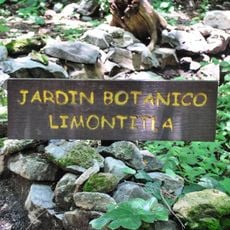
Jardín botánico Limontitla
104.5 km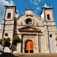
Cathedral Basilica of Saint Clement in Tenancingo
108.6 km
Museum Joaquin Arcadio Curroc Valle de Bravo
91.6 km
Rancho Joan Sebastian Alejandra C V
105.5 km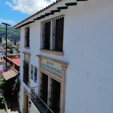
William Spratling Museum
90.8 km
Museo de Arte Popular Valle de Bravo
91.5 km
"El Salto" Tonatico
92.4 km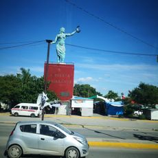
Monumento Patria Trigarante
98 km
Recinto de Cuauhtemotzin
70.2 km
Papalotzin Mariposario
112.1 km
Hacienda de San Gabriel Ixtla
98.5 km
Zócalo
2.2 km
Kiosco
112.4 km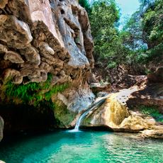
Pozas azules de Atzala
84 km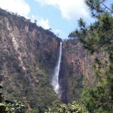
Cascada de Cacalotenango
84.7 km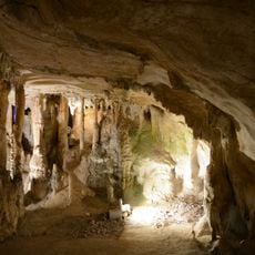
Grutas de la Estrella Tonatico
93.7 kmReviews
Visited this place? Tap the stars to rate it and share your experience / photos with the community! Try now! You can cancel it anytime.
Discover hidden gems everywhere you go!
From secret cafés to breathtaking viewpoints, skip the crowded tourist spots and find places that match your style. Our app makes it easy with voice search, smart filtering, route optimization, and insider tips from travelers worldwide. Download now for the complete mobile experience.

A unique approach to discovering new places❞
— Le Figaro
All the places worth exploring❞
— France Info
A tailor-made excursion in just a few clicks❞
— 20 Minutes