Valle de Bravo

Log in to your account

AroundUs is a community-driven map of interesting places, built by curious explorers like you. It grows with every review, story, and photo you share.
Connect to save your favorite spots, contribute locations, and create personalized routes.
Continue with Google
Continue with Apple
Continue with X
Continue with Facebook
Continue with email
By continuing, you accept our Terms and Conditions and our Privacy Policy
Create an account

Valle de Bravo

Add to collection
Map
Suggest a change
Share

Valle de Bravo, Colonial town in State of Mexico, Mexico.

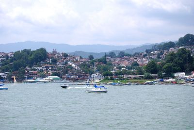
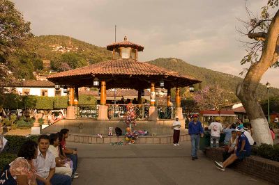
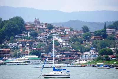
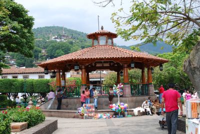
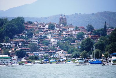
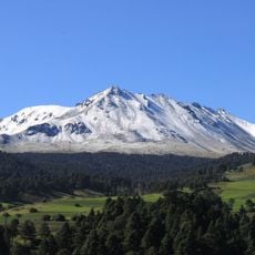
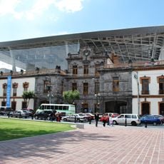
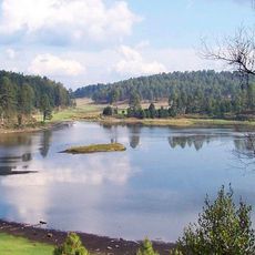
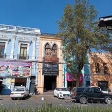
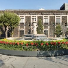
Valle de Bravo is a colonial town in the State of Mexico, located about 156 kilometers southwest of Mexico City along the shores of Lake Avándaro. Pine forests surround the settlement at an elevation of 1850 meters, with cobbled streets leading from the central plaza to residential neighborhoods and viewpoints.

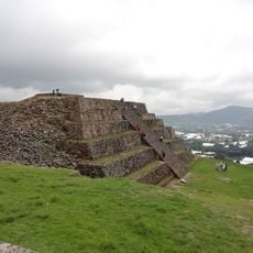
The settlement began in the 16th century as El Pino under Franciscan friar Gregorio Jiménez. City status was granted in 1878 after the construction of the reservoir.

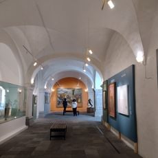
Local residents call this place simply "Valle" in everyday conversations, shortening its full name while retaining its association with the forested valley that cradles the reservoir. Markets around the central plaza sell handwoven wool textiles and carved wooden furniture that reflect regional craft traditions passed down through generations.

The reservoir offers opportunities for sailing, kayaking, boating, waterskiing, and fishing for catfish, mojarro, and carp. Trails through the forests start at several points around the shore and lead to higher areas overlooking the water.

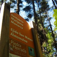
The Monte Alto Nature Reserve contains several paragliding launch points where certified instructors guide flights over the reservoir and surrounding mountains. Thermal updrafts form regularly during morning hours, allowing longer flights above the forested slopes.

Location: Valle de Bravo

Inception: 1530

Elevation above the sea: 1,850 m

Website: http://valledebravo.gob.mx

GPS coordinates: 19.19250,-100.13056

Latest update: December 12, 2025 17:47

Photos
Discover Mexico: sculpture gardens, caves, islands and Mayan ruins

Mexico offers much more than the usual travel spots. This collection includes sculpture gardens, caves, islands, colonial towns, volcanoes, Mayan sites, oases, lakes, and protected areas across the country. You will find mineral pools in Oaxaca, desert landscapes in Sonora, underground caves,...

Reviews

Visited this place? Tap the stars to rate it and share your experience / photos with the community! Try now! You can cancel it anytime.

« Valle de Bravo - Colonial town in State of Mexico, Mexico » is provided by Around Us (aroundus.com). Images and texts are derived from Wikimedia project under a Creative Commons license. You are allowed to copy, distribute, and modify copies of this page, under the conditions set by the license, as long as this note is clearly visible.

Discover hidden gems everywhere you go!

From secret cafés to breathtaking viewpoints, skip the crowded tourist spots and find places that match your style. Our app makes it easy with voice search, smart filtering, route optimization, and insider tips from travelers worldwide. Download now for the complete mobile experience.

Around Us App Screenshot

A unique approach to discovering new places

Le Figaro

All the places worth exploring

France Info

A tailor-made excursion in just a few clicks

20 Minutes