Tlayacapan Municipality, Administrative municipality in Morelos, Mexico
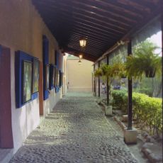
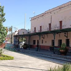
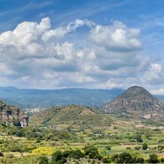
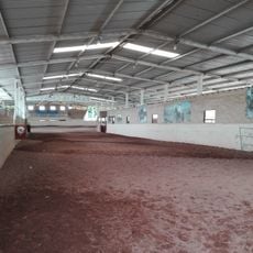
Tlayacapan is a municipality covering about 71 square kilometers, marked by stone-paved streets, red-tiled roofs, and numerous ravines connected by stone bridges. The main village features narrow lanes, a central church, and small plazas framed by traditional houses arranged on hillsides.
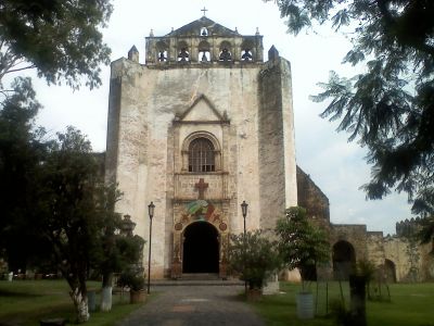
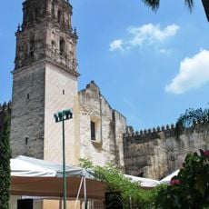
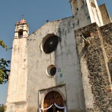
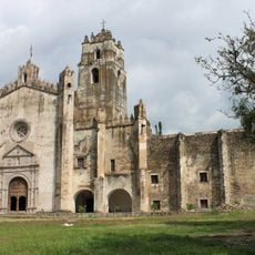
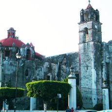
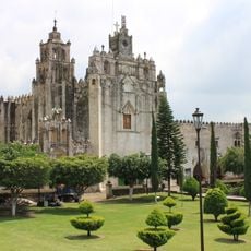
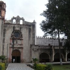
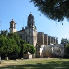
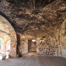
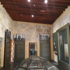
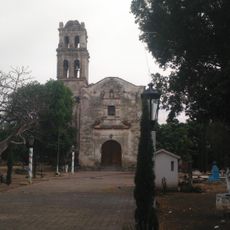
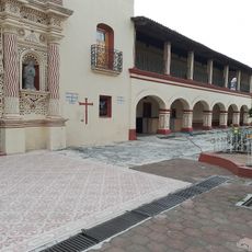
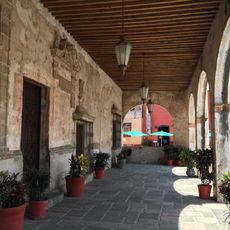
The monastery of San Juan Bautista, built in the 1530s, marks the arrival of Spanish colonial authority and is part of a UNESCO World Heritage site. This early religious structure shaped the settlement's development and remains its central landmark today.
The municipality's name comes from Nahuatl words meaning "water" and "place," reflecting how local culture remains rooted in indigenous traditions. You can see this influence in the way people celebrate religious festivals and in the layout of public spaces that blend Spanish colonial and pre-Hispanic design.
The municipality is accessible from Cuernavaca, about 60 kilometers away, or with a roughly 90-minute drive south from Mexico City. The best time to visit is during the drier months when roads are easier to navigate and villages are more active.
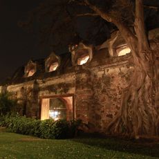
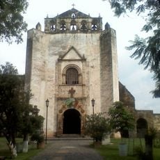
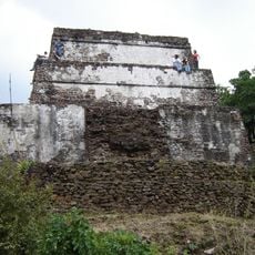
The municipality is dotted with 26 chapels, many built atop former pre-Hispanic ritual sites and still used during local celebrations today. This network shows how the settlement grew across generations, with different spiritual traditions woven into its layout.
The community of curious travelers
AroundUs brings together thousands of curated places, local tips, and hidden gems, enriched daily by 60,000 contributors worldwide.