Morelos, Federal state in central Mexico
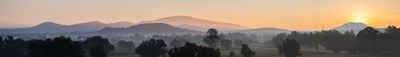
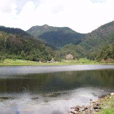
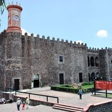
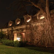
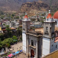
Morelos is a federal state in central Mexico stretching between the capital and the neighboring regions of Puebla and Guerrero, covering mountain ranges, valleys, and flatter areas across roughly 1,900 square miles. The administration is divided into 36 municipalities, with the largest city Cuernavaca serving as the seat of government at an elevation of about 5,000 feet (1,500 meters).
The federal state was created in 1869 by separating territories that previously belonged to Mexico and Puebla, and it was named in honor of a hero of the independence movement. In the early decades of the 20th century, the region became the center of agrarian reform led by a peasant leader from a small village in the southern part of the state.
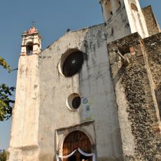
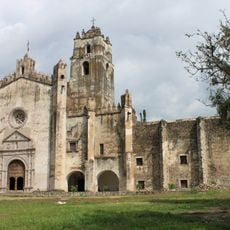
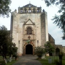
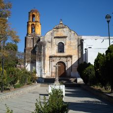
The federal unit takes its name from a priest who played a central role in the independence struggles of the early 19th century, and his ideals remain present in public life today. In many towns during carnival days, groups move through the streets with dancers wearing tall headdresses and embroidered capes, jumping to the rhythm of brass bands.
Mild temperatures between 68 and 86 degrees Fahrenheit (20 to 30 degrees Celsius) prevail year-round in the lower areas, making walks and excursions comfortable in any season. In the higher mountain areas it can be cooler, so a jacket is recommended for visits outside the larger cities.
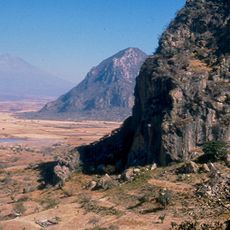
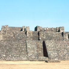
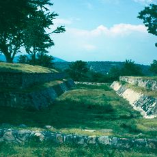
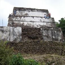
In the archaeological site of Xochicalco, structures combine influences from several pre-Hispanic cultures, including a pyramid with detailed stone reliefs of a feathered serpent. Once a year, the sun casts a band of light through an opening inside the pyramid, projecting onto the floor and recalling the astronomical knowledge of the builders.
The community of curious travelers
AroundUs brings together thousands of curated places, local tips, and hidden gems, enriched daily by 60,000 contributors worldwide.