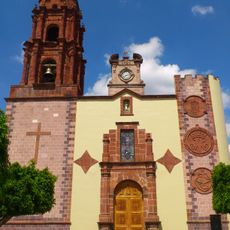
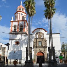
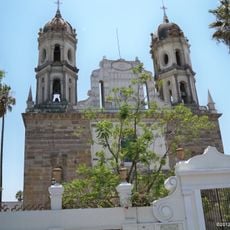
Atotonilco el Alto Municipality, Administrative division in Jalisco, Mexico.
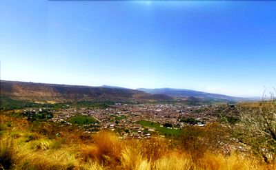
Atotonilco el Alto Municipality is an administrative region in the Los Altos area of Jalisco state in Mexico, covering around 112 towns across roughly 511 square kilometers. The landscape is shaped by farmland and livestock raising, with small settlements connected by rural roads.
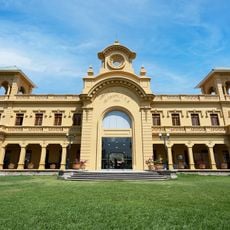
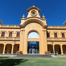
The area was settled by Purépecha people in the late 1400s before being conquered in 1530 and eventually gaining city status in 1868. These early foundations shaped its development and turned it into a center of rural settlement.
This municipality is a center for cattle and pig raising, with local people living their work in the fields and on farms as part of daily life. People maintain traditional farming practices and use local markets to sell their products and connect with one another.
The many towns are best explored by car, as they are scattered across regional roads with no walking paths between them. It helps to plan routes ahead and move deliberately between villages to see different parts of this spread-out region.
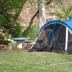
The Taretan Water Park with its natural hot springs from the Taretan River has drawn visitors since the 1950s, blending old stone structures with modern facilities. This mix of nature and human use creates a special relaxation spot within the rural surroundings.
The community of curious travelers
AroundUs brings together thousands of curated places, local tips, and hidden gems, enriched daily by 60,000 contributors worldwide.