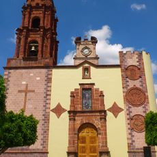
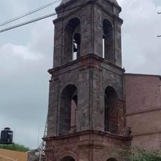
Arandas Municipality, Administrative division in Jalisco, Mexico.
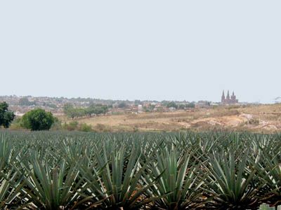
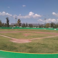
Arandas is a municipality located in the Altos Sur region of Jalisco state at an elevation of around 2,000 meters. The area encompasses rural settlements and farmland scattered across a wide territorial expanse.
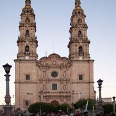
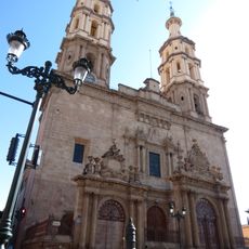
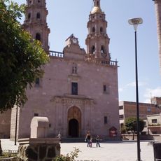
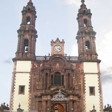
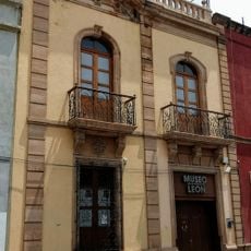
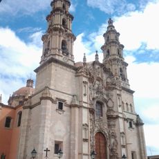
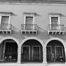
The area came under Spanish control in 1544 when Captain Juan de Villaseñor y Orozco received a land grant in the territory. This colonial settlement shaped the region's foundational development.
The municipality maintains a strong connection to agriculture through the cultivation of beans and wheat, along with traditional crafts like pottery and weaving. These handmade goods remain part of daily community life and local trade.
Visitors and residents can access municipal services through local contact points distributed throughout the municipality. The best time to visit is during the dry season when roads are in good condition.
The territory is known for its role as an export center for high-quality alcohol products, primarily shipped to the United States. This export activity has become a major economic driver for the municipality in recent years.
Location: Jalisco
Inception: 1761
Capital city: Arandas
Elevation above the sea: 2,262 m
Part of: Los Altos
Website: http://arandas.gob.mx
GPS coordinates: 20.70000,-102.30000
Latest update: December 7, 2025 19:22
Templo Expiatorio del Sagrado Corazón de Jesús
80.1 km
Cathedral of Our Lady of Guadalupe
79.8 km
Cathedral Basilica of Our Lady of St. John of the Lakes
60.8 km
Cathedral Basilica of Our Lady of the Light, León
79.8 km
Presidente InterContinental Hotel
79.8 km
Torre MAPFRE
79.8 km
Hyatt Regency Mexico City
79.8 km
Estadio Domingo Santana
83 km
Iglesia de San Miguel Arcángel
38.4 km
Teatro Doblado
79.8 km
Immaculate Conception Cathedral, Zamora de Hidalgo
79.8 km
Torre Lomas
79.8 km
Torre Mural
79.8 km
Reforma 115
79.8 km
Panorama Santa Fe
79.8 km
H2o Santa Fe building
79.8 km
Church of la Purísima, Yurécuaro
39.8 km
Edificio Punta Poniente
79.8 km
Balneario Rio Verde
63.9 km
Casa del Diezmo
66 km
Parroquia de La Inmaculada Concepción
64.9 km
Museum of the City of Leon
79.8 km
Historic centre of Lagos de Moreno
74.8 km
Teatro del Bicentenario
80.9 km
Estacion de tren, Museo de la Estación.
28.4 km
Tren Atotonilco El Alto
29.8 km
Casa de la Cultura Diego Rivera
79.4 km
Acuario
82.6 kmVisited this place? Tap the stars to rate it and share your experience / photos with the community! Try now! You can cancel it anytime.
Discover hidden gems everywhere you go!
From secret cafés to breathtaking viewpoints, skip the crowded tourist spots and find places that match your style. Our app makes it easy with voice search, smart filtering, route optimization, and insider tips from travelers worldwide. Download now for the complete mobile experience.
A unique approach to discovering new places❞
— Le Figaro
All the places worth exploring❞
— France Info
A tailor-made excursion in just a few clicks❞
— 20 Minutes