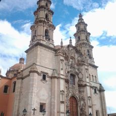
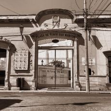
Nochistlán de Mejía, Colonial settlement in Zacatecas, Mexico.
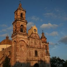
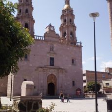
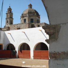
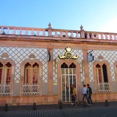
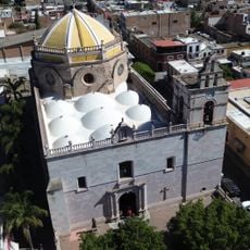
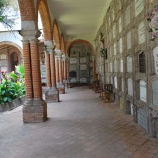
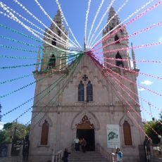
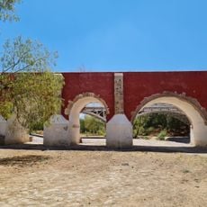
Nochistlán de Mejía is a colonial settlement in Zacatecas situated at roughly 1,870 meters elevation. The locality spreads across a rural landscape with traditional structures and open agricultural areas surrounding the center.
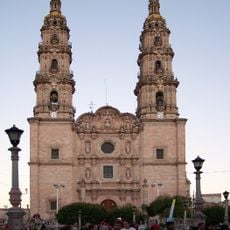
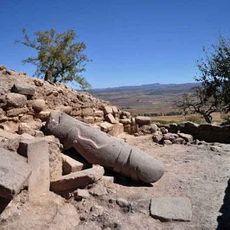
The settlement was founded in 1531 when Nuño Beltrán de Guzmán instructed Cristóbal de Oñate to establish a settlement here. This location served as the first site of Guadalajara before the city was relocated.
The El Papaqui festival takes place each January, when people cover their faces with flour and break confetti-filled eggs in joyful celebration. This local tradition brings the community together in a time of shared festivity and laughter.
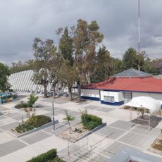
The city center has basic services within walking distance, with minibuses and buses connecting to nearby towns. Morning visits work well for exploring at a relaxed pace and getting oriented around the plaza area.
Every Sunday evening, the tradition of La Serenata unfolds at the plaza, where men form an outer circle and women walk through the middle. This old ritual reveals how the community has maintained its own style of social gathering.
Location: Nochistlán de Mejía Municipality
Inception: 1532
Elevation above the sea: 1,874 m
GPS coordinates: 21.36060,-102.84600
Latest update: December 7, 2025 10:08
Cathedral Basilica of Our Lady of St. John of the Lakes
54.6 km
Parque Rodolfo Landeros
79.2 km
Jardín de San Marcos
80.6 km
Plaza de Toros Monumental de Aguascalientes
79.9 km
Tsunami
77.8 km
Templo de San Marcos, Aguascalientes
80.4 km
El Teúl
65.5 km
Iglesia de San Miguel Arcángel
58.8 km
El Ocote
56.4 km
Aguascalientes Theatre
79.7 km
Ex-Hacienda de Peñuelas
70.3 kmOvalo Aguascalientes México
67.2 km
El Tepozán
65.4 km
Balneario Rio Verde
39.5 km
Museo de las Ánimas
66 km
Museo Nacional de Pueblos Mágicos
55.8 km
Diversx
80 km
Historic centre of Lagos de Moreno
72.6 km
RÜIDO
80.7 km
Casa de la calle Venustiano Carranza 306
80.7 km
Parroquia del Señor del Salitre
55.7 km
Municipal cemetery of Encarnación de Díaz
68.4 km
Teatro Licenciado José Minero Roque
626 m
Santuario de la Virgen de Guadalupe
55.4 km
Lotería Teatro
80.2 km
Casa de Nieto 242
80.8 km
Plaza de Toros San Marcos, Academia taurina del estado
80.7 km
Puente de San Ignacio
80.7 kmVisited this place? Tap the stars to rate it and share your experience / photos with the community! Try now! You can cancel it anytime.
Discover hidden gems everywhere you go!
From secret cafés to breathtaking viewpoints, skip the crowded tourist spots and find places that match your style. Our app makes it easy with voice search, smart filtering, route optimization, and insider tips from travelers worldwide. Download now for the complete mobile experience.
A unique approach to discovering new places❞
— Le Figaro
All the places worth exploring❞
— France Info
A tailor-made excursion in just a few clicks❞
— 20 Minutes