Enable Location

We need your location to show you interesting places around you

Discover nearby places

Find interesting locations and hidden gems around you

Precise directions

Get accurate directions and distances to places

Your location is never shared with other users. It's only used when you tap the location button.

Log in to your account

Start exploring — it's free

Trusted by 61,839 travelers worldwide

Continue with Google
Continue with Apple
or

We will send you a code to connect

By continuing, you accept our Terms and Conditions and our Privacy Policy

Check your inbox

We've sent a pincode in your inbox. Please enter the code below.

Jiquipilco Municipality

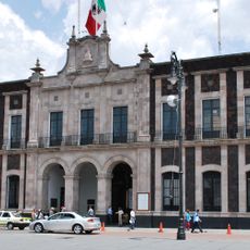
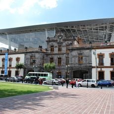
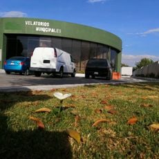
Jiquipilco Municipality, Municipal administration center in State of Mexico, Mexico

Description

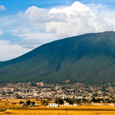
Jiquipilco Municipality is an administrative division in the State of Mexico, covering land on the southern and western slopes of Cerro La Catedral in the Toluca Valley region. The area includes several settlements and communities spread across a mountainous terrain with varied elevations.

History

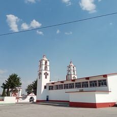
The area was recognized by Spanish authorities in 1593 as San Juan Jiquipilco and gained municipal status in 1824. This evolution reflects the transition from colonial to modern Mexican administration.

Culture

The region maintains strong ties to its indigenous past through the presence of Otomi language speakers and traditional farming methods that shape daily life. These practices remain visible in the agricultural landscape and the way communities work the land today.

Practical

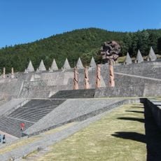
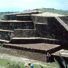
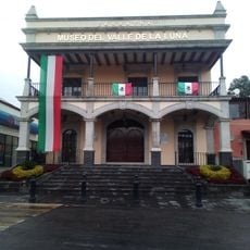
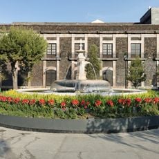
Visitors can explore several colonial-era haciendas such as Mañí, Nixiní, Santa Isabel, and Boximo scattered throughout the area. The hilly terrain makes it helpful to ask locally or hire a guide when venturing to smaller communities.

Did you know?

The name comes from Nahuatl meaning 'in the saddlebags', reflecting ancient connections to regional trade routes and transport ways. This sits at 2,657 meters elevation, shaping the area's alpine climate and plant life.

GPS coordinates
19.59163,-99.63117
Latest update
December 7, 2025 20:43

AroundUs brings together thousands of curated places, local tips, and hidden gems, enriched daily by 60,000 contributors worldwide. Discover all places nearby (Jiquipilco).

« Jiquipilco Municipality - Municipal administration center in State of Mexico, Mexico » is provided by Around Us (aroundus.com). Images and texts are derived from Wikimedia project under a Creative Commons license. You are allowed to copy, distribute, and modify copies of this page, under the conditions set by the license, as long as this note is clearly visible.

Discover hidden gems everywhere you go!

From secret cafés to breathtaking viewpoints, skip the crowded tourist spots and find places that match your style. Our app makes it easy with voice search, smart filtering, route optimization, and insider tips from travelers worldwide. Download now for the complete mobile experience.

Around Us App Screenshot

A unique approach to discovering new places

Le Figaro

All the places worth exploring

France Info

A tailor-made excursion in just a few clicks

20 Minutes

Around Us
Travel Guide & Maps
Download

Send to your phone

QR Code
1

Open the camera app on your mobile.

2

Point at the QR code with your camera. A notification will appear.

3

Tap the notification to open the link.