Enable Location

We need your location to show you interesting places around you

Discover nearby places

Find interesting locations and hidden gems around you

Precise directions

Get accurate directions and distances to places

Your location is never shared with other users. It's only used when you tap the location button.

Texcoco Municipality

Log in to your account

Start exploring — it's free

Trusted by 67,528 travelers worldwide

Continue with Google
Continue with Apple
or

We will send you a code to connect

By continuing, you accept our Terms and Conditions and our Privacy Policy

Check your inbox

We've sent a pincode in your inbox. Please enter the code below.

Discussion Reviews 1 Photos
33k Popularity

Texcoco Municipality, Municipal district in State of Mexico, Mexico.

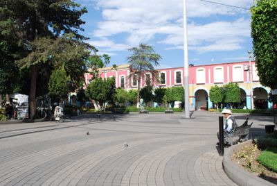
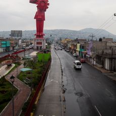
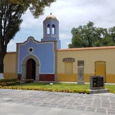
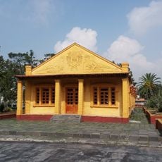
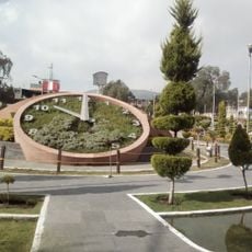
Texcoco Municipality is an administrative area northeast of Mexico City that combines farmland, residential neighborhoods, and urban centers. The territory spans several districts with varying levels of development, creating a mixed landscape of rural and built environments.

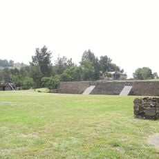
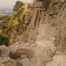
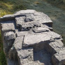
The area was once a major Aztec center that forged a powerful alliance with Tenochtitlan before Spanish arrival. During the siege of Tenochtitlan, this region became strategically important as resources were gathered to support the colonial conquest.

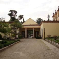
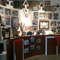
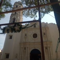
The municipality celebrates its roots through local festivals and community events where traditional crafts and regional art remain part of daily life. Educational institutions in the area work to keep these customs alive through public activities and displays.

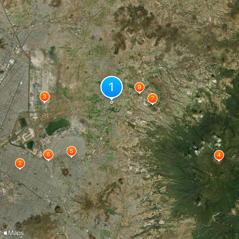
Visitors can best explore the area by using local transportation to move between different districts and spending time in central zones. Most locations are relatively accessible on foot from major transit hubs.

Parts of the ancient Lake Texcoco once lay within this territory, and Spanish invaders used its waters to construct siege vessels in their attack on Tenochtitlan. Remnants of this lake still shape the landscape today, serving as a physical link to one of Mexico's most pivotal moments.

The community of curious travelers

AroundUs brings together thousands of curated places, local tips, and hidden gems, enriched daily by 60,000 contributors worldwide.

Start exploring
Location
Capital city
Texcoco de Mora
Elevation above the sea
2,257 m
GPS coordinates
19.50000,-98.88333
Latest update
December 19, 2025 23:57
Reviews
Share your experience

No review yet

Discussions
Start a discussion...

No discussion yet

« Texcoco Municipality - Municipal district in State of Mexico, Mexico » is provided by Around Us (aroundus.com). Images and texts are derived from Wikimedia project under a Creative Commons license. You are allowed to copy, distribute, and modify copies of this page, under the conditions set by the license, as long as this note is clearly visible.

Discover hidden gems everywhere you go!

From secret cafés to breathtaking viewpoints, skip the crowded tourist spots and find places that match your style. Our app makes it easy with voice search, smart filtering, route optimization, and insider tips from travelers worldwide. Download now for the complete mobile experience.

Around Us App Screenshot

A unique approach to discovering new places

Le Figaro

All the places worth exploring

France Info

A tailor-made excursion in just a few clicks

20 Minutes

Around Us
Travel Guide & Maps
Download

Send to your phone

QR Code
1

Open the camera app on your mobile.

2

Point at the QR code with your camera. A notification will appear.

3

Tap the notification to open the link.