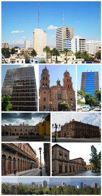
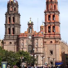
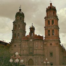
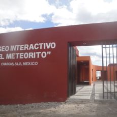
San Luis Potosí, Colonial city center in San Luis Potosí, Mexico.
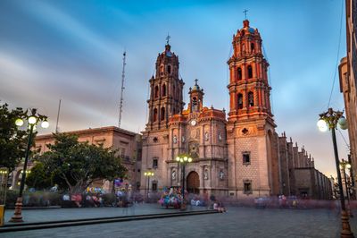
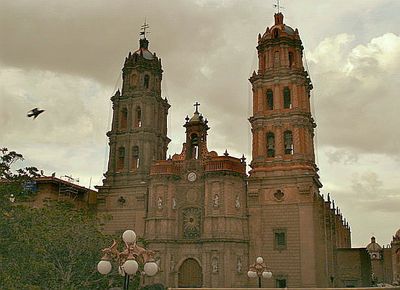
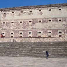
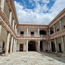
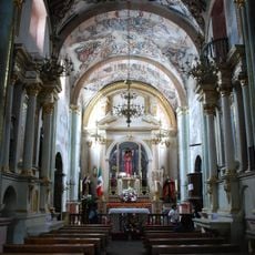
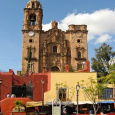
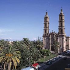
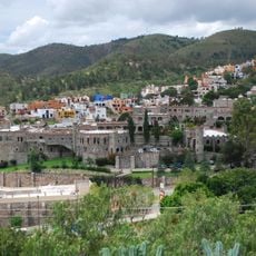
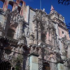
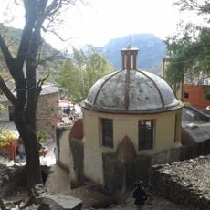
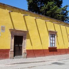
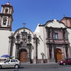
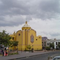
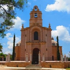
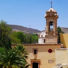
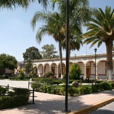
San Luis Potosí is a city in the central highlands of Mexico with around 900,000 residents, sitting at roughly 2,000 meters above sea level. The colonial center shows many buildings made from pink quarry stone, wide plazas, and churches that spread across several street blocks.
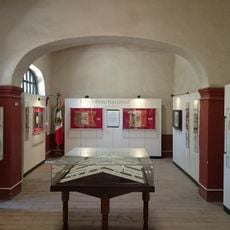
The city emerged in the late 16th century as a mining center and grew into an important trade hub in central Mexico. Benito Juárez set up his government here twice during the French intervention and issued the death sentence against Emperor Maximilian from this location in 1867.
The city carries its name in honor of French King Louis IX and the Potosí region, and this double origin shows in the local identity. Visitors notice the use of pink quarry stone on many facades, a material from nearby quarries that gives the center its characteristic appearance.
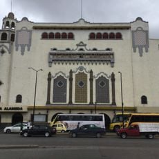
The international airport sits roughly 11 kilometers from the city center and offers regular connections to major Mexican cities. The colonial center can be explored easily on foot, as most sights lie within short walking distance from each other.
The city was one of the places where Francisco Madero called for armed uprising against the dictatorship in 1910, triggering the Mexican Revolution. This call, known as the Plan of San Luis, marked the start of a decade-long upheaval in Mexican history.
The community of curious travelers
AroundUs brings together thousands of curated places, local tips, and hidden gems, enriched daily by 60,000 contributors worldwide.