Zapata County

Log in to your account

AroundUs is a community-driven map of interesting places, built by curious explorers like you. It grows with every review, story, and photo you share.
Connect to save your favorite spots, contribute locations, and create personalized routes.
Continue with Google
Continue with Apple
Continue with X
Continue with Facebook
Continue with email
By continuing, you accept our Terms and Conditions and our Privacy Policy
Create an account
Add to collection
Map
Suggest a change
Share

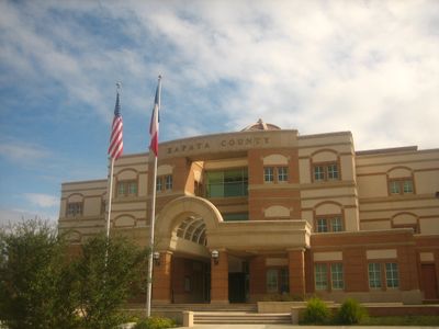
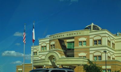
Zapata County, Administrative county in southern Texas, United States

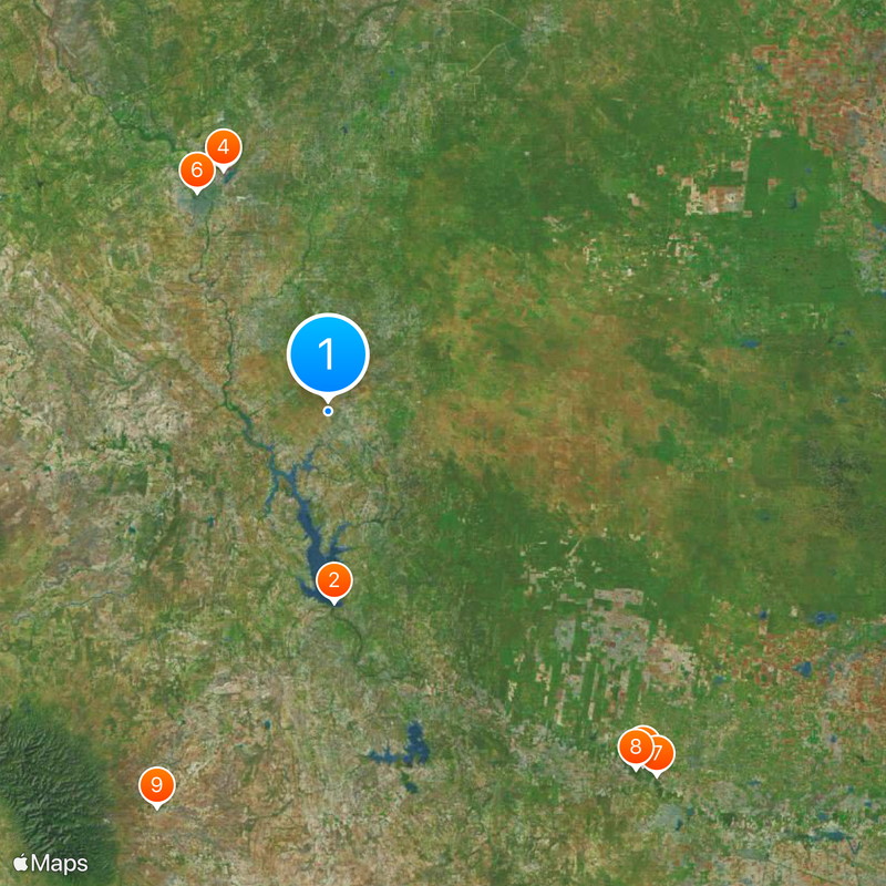
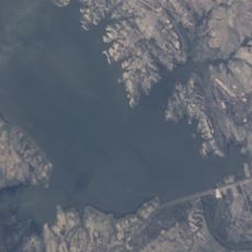
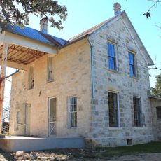
Zapata County is an administrative region in southern Texas that spans semi-arid terrain and water resources, including the Falcon International Reservoir. The area contains multiple settlements, none with city status, with all designated as census-designated places.

The region was established in 1858 and named after Colonel José Antonio de Zapata, a local rancher. He was an influential figure in resistance movements of his time.

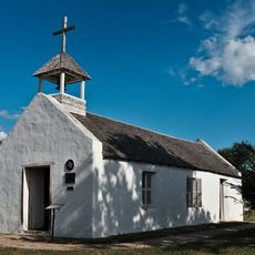
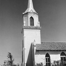
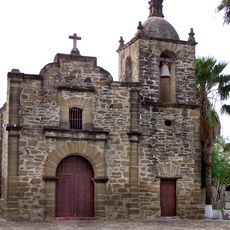
The community is shaped by Spanish-speaking traditions visible in local celebrations, cooking styles, and gatherings throughout the year. These practices form the foundation of how people connect with one another in daily life.

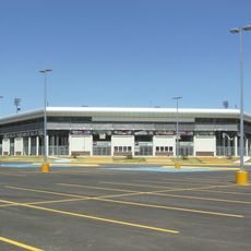
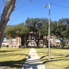
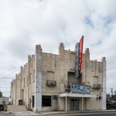
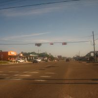
The area is managed by local school authorities and the county commissioners court oversees public services. Visitors should know that there are no major urban centers, only scattered smaller settlements.

All settlements in the area are statistical places rather than incorporated cities, which sets it apart from most other counties. The administrative center of Zapata itself operates as such a statistical place rather than a traditional city.

Location: Texas

Inception: January 22, 1858

Capital city: Zapata

Shares border with: Starr County, Jim Hogg County, Webb County

Website: http://co.zapata.tx.us

GPS coordinates: 27.00000,-99.18000

Latest update: December 20, 2025 15:31

Photos
Around this place
Falcon International Reservoir
United States of America

Falcon International Reservoir

49.1 km
Uni-Trade Stadium
United States of America

Uni-Trade Stadium

67.4 km
Laredo Energy Arena
United States of America

Laredo Energy Arena

67.8 km
National Butterfly Center
United States of America

National Butterfly Center

122.1 km
Fort McIntosh
United States of America

Fort McIntosh

65.6 km
La Lomita Chapel
United States of America

La Lomita Chapel

126.3 km
Bentsen-Rio Grande Valley State Park
United States of America

Bentsen-Rio Grande Valley State Park

121.6 km
El Sabinal National Park
Mexico

El Sabinal National Park

111.1 km
Cathedral of San Agustin
United States of America

Cathedral of San Agustin

64.5 km
McAllen Public Library
United States of America

McAllen Public Library

125.8 km
Estadio Nuevo Laredo
Mexico

Estadio Nuevo Laredo

67.2 km
Student Activity Complex
United States of America

Student Activity Complex

61 km
First Lift Station
United States of America

First Lift Station

121.8 km
Roma Historic District
United States of America

Roma Historic District

68 km
Republic of the Rio Grande Museum
United States of America

Republic of the Rio Grande Museum

64.5 km
Laredo United States Post Office, Court House and Custom House
United States of America

Laredo United States Post Office, Court House and Custom House

65 km
Webb County Courthouse
United States of America

Webb County Courthouse

65 km
Trevino-Uribe Rancho
United States of America

Trevino-Uribe Rancho

26.6 km
Border Theater
United States of America

Border Theater

121.8 km
Herff-Rozelle Farm
United States of America

Herff-Rozelle Farm

98.9 km
Brooks County Courthouse
United States of America

Brooks County Courthouse

105.7 km
Plaza Theater
United States of America

Plaza Theater

64.9 km
Rio Theater
United States of America

Rio Theater

122.2 km
Regal Laredo Stadium 14
United States of America

Regal Laredo Stadium 14

68.1 km
Tivoli Theatre
United States of America

Tivoli Theatre

64.8 km
Garmon Theater
United States of America

Garmon Theater

78 km
Capilla de San Juan Bautista
Mexico

Capilla de San Juan Bautista

63.8 km
La Lomita Historic District
United States of America

La Lomita Historic District

126.8 km
Show the full map
Reviews

Visited this place? Tap the stars to rate it and share your experience / photos with the community! Try now! You can cancel it anytime.

Administrative divisions
« Zapata County - Administrative county in southern Texas, United States » is provided by Around Us (aroundus.com). Images and texts are derived from Wikimedia project under a Creative Commons license. You are allowed to copy, distribute, and modify copies of this page, under the conditions set by the license, as long as this note is clearly visible.

Discover hidden gems everywhere you go!

From secret cafés to breathtaking viewpoints, skip the crowded tourist spots and find places that match your style. Our app makes it easy with voice search, smart filtering, route optimization, and insider tips from travelers worldwide. Download now for the complete mobile experience.

Around Us App Screenshot

A unique approach to discovering new places

Le Figaro

All the places worth exploring

France Info

A tailor-made excursion in just a few clicks

20 Minutes