Chest opened
+${chestReward.xp} XP
Explorer
NOUVEAU ×${chestReward.collectible.quantity}
tapez pour fermer

See the monuments around you in AR Open chests in the app

Around Us is built for your phone — point your camera at the streets and discover the monuments and places around you in augmented reality. Around Us is built for your phone — chests unlock when you walk, explore and capture nearby places.

•

Enable Location

We need your location to show you interesting places around you

Discover nearby places

Find interesting locations and hidden gems around you

Precise directions

Get accurate directions and distances to places

Your location is never shared with other users. It's only used when you tap the location button.

Boquillas del Carmen

Log in to your account

Start exploring — it's free

Trusted by 90,867 travelers worldwide

Continue with Google
Continue with Apple
or

We will send you a code to connect

By continuing, you accept our Terms and Conditions and our Privacy Policy

Check your inbox

We've sent a pincode in your inbox. Please enter the code below.

Boquillas del Carmen

Boquillas del Carmen, Border village in Ocampo, Mexico

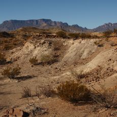
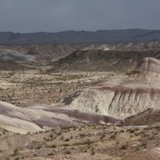
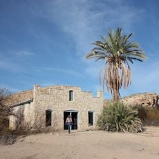
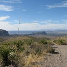
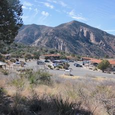
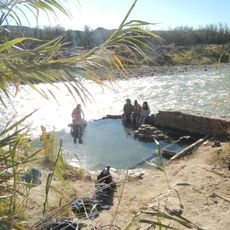
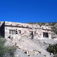
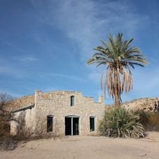
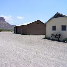
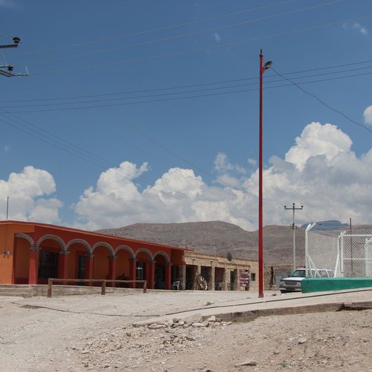
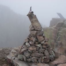
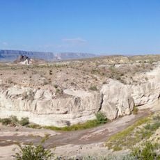
Boquillas del Carmen is a border community in Ocampo municipality situated on the banks of the Rio Grande at about 574 meters elevation. The settlement serves as the northernmost point of the municipality and functions as an entry point for travelers heading to Big Bend National Park.

The settlement began as a mining community following silver, lead, and zinc discoveries in the Sierra del Carmen during the 1890s. Over time it evolved from an extraction-focused site into a border crossing point with growing connections to regional tourism.

Local artisans sell handmade crafts and goods to visitors, blending traditional practices with tourism services. The community has maintained its way of life while adapting to the travelers who arrive throughout the year.

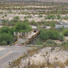
The community is accessible through a dedicated port of entry near Big Bend National Park or via Mexican Federal Highway 53. Visitors should expect basic facilities and limited services, requiring advance planning for supplies and accommodations.

A solar farm built in 2015 supplies electricity to this isolated settlement, demonstrating how remote border communities utilize renewable technology. This installation powers both resident needs and visitor facilities in an off-grid location.

The community of curious travelers

AroundUs brings together thousands of curated places, local tips, and hidden gems, enriched daily by 90,867 contributors worldwide.
Start exploring
Location
GPS coordinates
29.18833,-102.93500
Latest update
October 8, 2026 17:00
Around this place
Emory Peak
United States of America

Emory Peak

22.7 mi
Aguja Formation
United States of America

Aguja Formation

35 mi
Javelina Formation
United States of America

Javelina Formation

29.1 mi
Hot Springs
United States of America

Hot Springs

3.8 mi
La Linda International Bridge
Mexico

La Linda International Bridge

19.2 mi
Mariscal Mine
United States of America

Mariscal Mine

16.5 mi
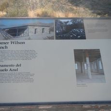
Homer Wilson Ranch
United States of America

Homer Wilson Ranch

26.1 mi
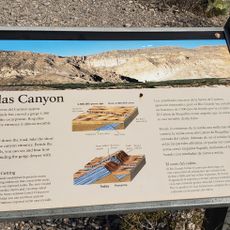
Boquillas Canyon
United States of America

Boquillas Canyon

3.4 mi
Daniels Farm House
United States of America

Daniels Farm House

2.2 mi
Sotol Vista Overlook
United States of America

Sotol Vista Overlook

26.7 mi
Panther Junction Visitor Center
United States of America

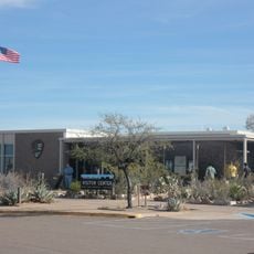
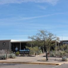
Panther Junction Visitor Center

19 mi
Panther Junction Mission 66 Historic District
United States of America

Panther Junction Mission 66 Historic District

19 mi
Castolon Historic District
United States of America

Castolon Historic District

35.2 mi
Chisos Basin Visitor Center
United States of America

Chisos Basin Visitor Center

22.8 mi
Dugout Wells
United States of America

Dugout Wells

13.4 mi
Panther Junction Gas Station
United States of America

Panther Junction Gas Station

19.2 mi
Rio Grande Village Campground
United States of America

Rio Grande Village Campground

1.4 mi
Homer Wilson Ranch Overlook
United States of America

Homer Wilson Ranch Overlook

26.3 mi
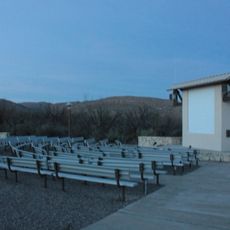
Rio Grande Village Campground Amphitheater
United States of America

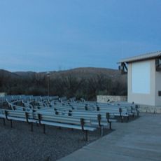
Rio Grande Village Campground Amphitheater

1.5 mi
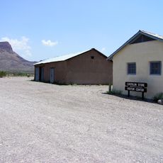
Castolon Store
United States of America

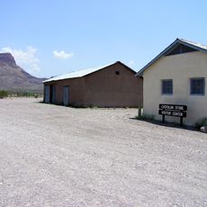
Castolon Store

35.2 mi
Boquillas Canyon Overlook
United States of America

Boquillas Canyon Overlook

0.8 mi
Langford Hot Springs
United States of America

Langford Hot Springs

3.7 mi
Livingston House
United States of America

Livingston House

4 mi
Hot Springs Store
United States of America

Hot Springs Store

3.9 mi
Recreation Building
United States of America

Recreation Building

35.2 mi
Tuff Canyon
United States of America

Tuff Canyon

33.7 mi
Tornillo Creek Bridge
United States of America

Tornillo Creek Bridge

4.4 mi
Hot Springs Cabins
United States of America

Hot Springs Cabins

3.9 mi
Show the full map
Reviews
Share your experience

No review yet

Discussions
Start a discussion...

No discussion yet

« Boquillas del Carmen - Border village in Ocampo, Mexico » is provided by Around Us (aroundus.com). Images and texts are derived from Wikimedia project under a Creative Commons license. You are allowed to copy, distribute, and modify copies of this page, under the conditions set by the license, as long as this note is clearly visible.

Discover hidden gems everywhere you go!

From secret cafés to breathtaking viewpoints, skip the crowded tourist spots and find places that match your style. Our app makes it easy with voice search, smart filtering, route optimization, and insider tips from travelers worldwide. Download now for the complete mobile experience.
Around Us App Screenshot
❝

A unique approach to discovering new places❞

— Le Figaro

❝

All the places worth exploring❞

— France Info

❝

A tailor-made excursion in just a few clicks❞

— 20 Minutes

Around Us
Travel Guide & Maps
Download

Send to your phone

QR Code
1

Open the camera app on your mobile.

2

Point at the QR code with your camera. A notification will appear.

3

Tap the notification to open the link.