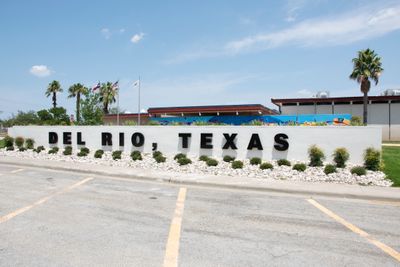
Del Rio, Border town in southwestern Texas, United States.
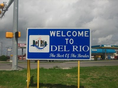
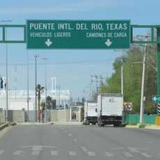
Del Rio is a border town in southwestern Texas that sits directly on the Rio Grande, connected to Ciudad Acuña in Mexico by international bridges. The town spreads along the riverbank at an elevation of roughly 295 meters (968 feet), forming a crossing point between the two countries.
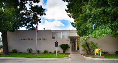
Spanish missionaries founded the San Felipe del Rio mission in the 18th century, but raids led to its destruction. The modern settlement was established in 1872 and developed as the seat of Val Verde County.
The name derives from the Spanish mission San Felipe del Rio, referring to Saint Philip and the river. Local businesses and street signs still carry bilingual labels reflecting the Mexican influence on daily life.
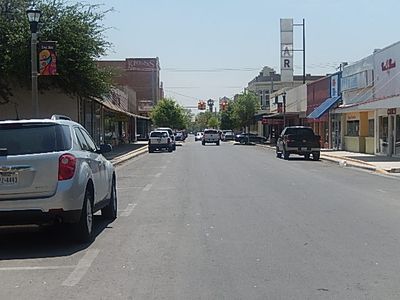
Most visitor points are near the river, where you can see the bridges to Mexico and find restaurants and shops. Streets run parallel to the water, making it easy to navigate along the border.
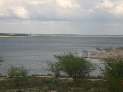
The Val Verde Winery, dating from 1883, still produces wine and stands as the oldest continuously operating winery in Texas. The Amistad Reservoir covers more than 33,000 hectares (84,000 acres) and serves both recreational use and regional water supply.
The community of curious travelers
AroundUs brings together thousands of curated places, local tips, and hidden gems, enriched daily by 60,000 contributors worldwide.