Menard, city in Texas
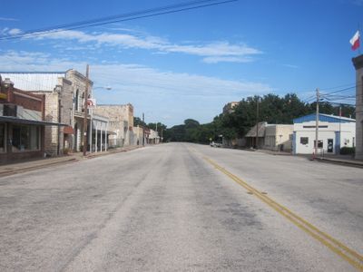
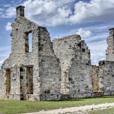
Menard is a small city in Texas located near the San Saba River where two highways cross. It sits close to the remains of the old Spanish presidio San Luis de las Amarillas and offers visitors access to several parks and the Historic Ditch Walk, which connects early churches, a cemetery with settlers' graves, and other historic landmarks.
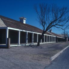
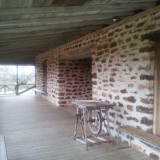
Spanish settlers established the fort San Luis de las Amarillas here in 1758, later serving as a base for indigenous groups and explorers seeking a legendary silver mine. After earlier attempts, the town was officially laid out as Menardville in 1858 and renamed Menard in 1911 when the railroad arrived, triggering rapid growth.
Menard keeps its heritage alive through annual events like Jim Bowie Days and the Silver Mine Classic Lamb Show that gather the community. Residents take pride in preserving old buildings, stories, and traditions that reflect the town's rural character and past.
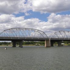
Visitors can explore the Historic Ditch Walk on foot to see several historic sites in one outing. The town is family-friendly with parks for relaxing and walking paths along the San Saba River, with warmer months offering the best conditions for outdoor activities.
A major flood from the San Saba River damaged the town in 1899, but residents quickly rebuilt and thrived afterward. Though the railroad stopped service in 1972, the old depot was converted into a museum that preserves the town's railroad history and local stories.
The community of curious travelers
AroundUs brings together thousands of curated places, local tips, and hidden gems, enriched daily by 60,000 contributors worldwide.