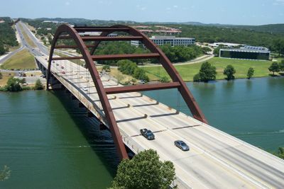
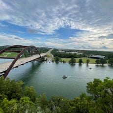
Pennybacker Bridge, Road bridge in Austin, United States.
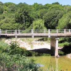
Pennybacker Bridge is a road span with through-arch trusses over Lake Austin in Texas, linking two sections of Loop 360 highway. The main steel arch extends above the water surface and rests on concrete abutments at both banks.
The crossing was completed in the early 1980s when Texas transport authorities sought a new link for growing suburbs northwest of the capital. The design followed a then-novel concept of arch-supported structures that had been realized only once before in Europe.
The span honors a Texas civil engineer from the 20th century whose family history connects to regional infrastructure projects. Today, locals recognize the crossing mainly through its rust-brown silhouette, often photographed at sunrise and sunset.
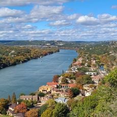
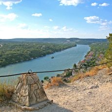
The crossing is accessible directly from the highway, while sidewalks on both sides provide room for pedestrians and cyclists. On clear days, the view across the lake and surrounding hills appears especially open.
The arch components were prefabricated in East Asia and shipped across the Pacific to North America before assembly at the final site. This international supply chain reflected the economic dynamics between continents at that time.
The community of curious travelers
AroundUs brings together thousands of curated places, local tips, and hidden gems, enriched daily by 60,000 contributors worldwide.