Rapides Parish

Log in to your account

AroundUs is a community-driven map of interesting places, built by curious explorers like you. It grows with every review, story, and photo you share.
Connect to save your favorite spots, contribute locations, and create personalized routes.
By continuing, you accept our Terms and Conditions and our Privacy Policy
Add to collection
Map
Suggest a change
Share

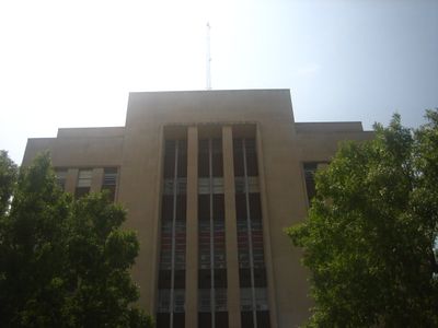
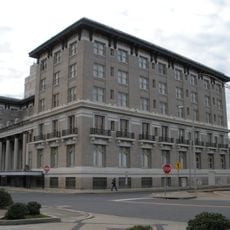
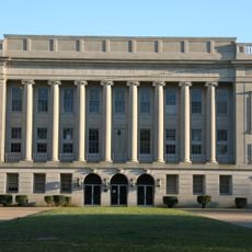
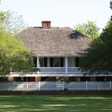
Rapides Parish, Administrative division in central Louisiana, United States

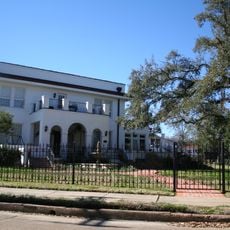
Rapides Parish is an administrative area in central Louisiana that surrounds the city of Alexandria on the Red River. The region contains multiple communities and neighborhoods spread across both urban and rural parts.

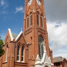
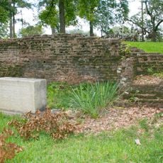
The area was established as a parish in 1807 following the Louisiana Purchase, when the United States acquired the territory from France. French colonial settlement had occurred here earlier, with land claims dating back to the mid-1700s.

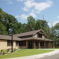
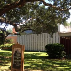
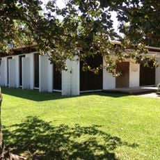
Education shapes community life here, with schools that serve families and young people across the area. Residents value these local institutions as centers that bring neighbors together and support their children's growth.

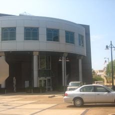
Visiting the area works best by focusing on Alexandria, where most services and attractions are located. Traveling by car is advisable since the region is spread out and distances between communities can be significant.

The parish operates electric school buses as part of its transportation system, showing a commitment to cleaner travel. This approach reflects local efforts to reduce emissions and improve air quality for students and communities.

Location: Louisiana

Inception: 1807

Capital city: Alexandria

Shares border with: Grant Parish, Allen Parish, LaSalle Parish, Avoyelles Parish, Evangeline Parish, Vernon Parish, Natchitoches Parish

Website: http://rppj.com

GPS coordinates: 31.20000,-92.54000

Latest update: December 7, 2025 10:01

Photos
Around this place
Show the full map
Bentley Hotel
United States of America

Bentley Hotel

15.4 km
Bolton High School
United States of America

Bolton High School

13.1 km
Alexandria Zoological Park
United States of America

Alexandria Zoological Park

12.5 km
Kent Plantation House
United States of America

Kent Plantation House

13 km
St. Francis Xavier Cathedral
United States of America

St. Francis Xavier Cathedral

15.3 km
Old LSU Site
United States of America

Old LSU Site

20.2 km
Alexandria Museum of Art
United States of America

Alexandria Museum of Art

15.5 km
Forts Randolph and Buhlow State Historic Site
United States of America

Forts Randolph and Buhlow State Historic Site

16.3 km
Congregation Gemiluth Chassodim
United States of America

Congregation Gemiluth Chassodim

13.6 km
Louisiana History Museum
United States of America

Louisiana History Museum

15.1 km
Grand Cote National Wildlife Refuge
United States of America

Grand Cote National Wildlife Refuge

39.7 km
Alexandria Garden District
United States of America

Alexandria Garden District

13.5 km
B'nai Israel Traditional Synagogue
United States of America

B'nai Israel Traditional Synagogue

13.4 km
Fort Randolph
United States of America

Fort Randolph

15.5 km
Eden
United States of America

Eden

19.7 km
First Methodist Church
United States of America

First Methodist Church

15.1 km
Oak Hall
United States of America

Oak Hall

46.5 km
Britt Place
United States of America

Britt Place

25.9 km
Lecompte High School
United States of America

Lecompte High School

17.9 km
Mt. Olivet Episcopal Church and Cemetery
United States of America

Mt. Olivet Episcopal Church and Cemetery

16.3 km
Trinity Episcopal Church
United States of America

Trinity Episcopal Church

31 km
Melady House
United States of America

Melady House

14.9 km
Bayou Rouge Baptist Church
United States of America

Bayou Rouge Baptist Church

49.8 km
James Wade Bolton House
United States of America

James Wade Bolton House

15.4 km
Alexandria National Cemetery
United States of America

Alexandria National Cemetery

17 km
Central Louisiana State Hospital Dairy Barn
United States of America

Central Louisiana State Hospital Dairy Barn

17.6 km
Alexandria Hall
United States of America

Alexandria Hall

17.6 km
Frithland
United States of America

Frithland

44.2 km
Show the full map
Reviews

Visited this place? Tap the stars to rate it and share your experience / photos with the community! Try now! You can cancel it anytime.

Administrative divisions
« Rapides Parish - Administrative division in central Louisiana, United States » is provided by Around Us (aroundus.com). Images and texts are derived from Wikimedia project under a Creative Commons license. You are allowed to copy, distribute, and modify copies of this page, under the conditions set by the license, as long as this note is clearly visible.

Discover hidden gems everywhere you go!

From secret cafés to breathtaking viewpoints, skip the crowded tourist spots and find places that match your style. Our app makes it easy with voice search, smart filtering, route optimization, and insider tips from travelers worldwide. Download now for the complete mobile experience.

Around Us App Screenshot

A unique approach to discovering new places

Le Figaro

All the places worth exploring

France Info

A tailor-made excursion in just a few clicks

20 Minutes