St. Landry Parish

Log in to your account

AroundUs is a community-driven map of interesting places, built by curious explorers like you. It grows with every review, story, and photo you share.
Connect to save your favorite spots, contribute locations, and create personalized routes.
Continue with Google
Continue with Apple
Continue with X
Continue with Facebook
Continue with email
By continuing, you accept our Terms and Conditions and our Privacy Policy
Create an account
Add to collection
Map
Suggest a change
Share

St. Landry Parish, Administrative division in Louisiana, United States.

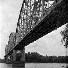
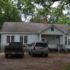
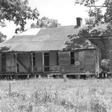
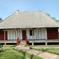
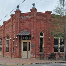
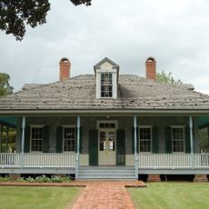
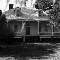
St. Landry Parish is an administrative district in southern Louisiana with Opelousas as its hub. The area spreads across farmland, waterways, and communities that define the landscape of this part of the state.

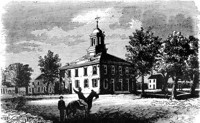
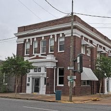
The parish was established in 1807 from a French trading post that later became the governmental center for Southwest Louisiana. The region played an important role during the Civil War when circumstances changed the course of state governance.

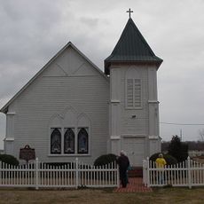
French, Spanish, Creole, Cajun, and African American traditions shape how people here celebrate and eat together. You can feel these influences woven into local music, food, and the way communities come together through the year.

The area is shaped by farming, with rice, soybeans, and sugarcane grown on its fertile land. Visitors should expect a rural setting where agricultural work shapes the rhythm of daily life.

In 1862, the parish briefly became the seat of state government due to wartime circumstances. This unusual role shows how even a rural district can suddenly take on unexpected responsibilities.

Location: Louisiana

Inception: 1807

Capital city: Opelousas

Shares border with: Avoyelles Parish, Pointe Coupee Parish, St. Martin Parish, Lafayette Parish, Acadia Parish, Evangeline Parish

Website: http://stlandryparishgovernment.org

GPS coordinates: 30.60000,-92.00000

Latest update: December 20, 2025 11:56

Photos
Around this place
Atchafalaya Basin Bridge
United States of America

Atchafalaya Basin Bridge

37.7 km
Chicot State Park
United States of America

Chicot State Park

34.9 km
Atchafalaya National Wildlife Refuge
United States of America

Atchafalaya National Wildlife Refuge

26 km
Chretien Point Plantation
United States of America

Chretien Point Plantation

25.5 km
United States of America

St. Charles College

20.6 km
Louisiana State Arboretum
United States of America

Louisiana State Arboretum

35.7 km
St. Landry Catholic Church
United States of America

St. Landry Catholic Church

9.9 km
Bayou Teche Brewery
United States of America

Bayou Teche Brewery

24.3 km
Krotz Springs Bridge
United States of America

Krotz Springs Bridge

24.7 km
United States of America

Arlington Plantation House

8.6 km
Alexis LaTour House
United States of America

Alexis LaTour House

27.6 km
Martin Donato House
United States of America

Martin Donato House

8.3 km
United States of America

Opelousas Historic District

11 km
United States of America

Rural African American Museum

9.7 km
Venus House
United States of America

Venus House

10.5 km
White's Chapel United Methodist Church
United States of America

White's Chapel United Methodist Church

32.5 km
Bank of Ville Platte
United States of America

Bank of Ville Platte

28.1 km
United States of America

Frozard Plantation House

21.1 km
Edward Benjamin Dubuisson House
United States of America

Edward Benjamin Dubuisson House

10.5 km
Evangeline Bank and Trust Company
United States of America

Evangeline Bank and Trust Company

28.4 km
Le Vieux Presbytere
United States of America

Le Vieux Presbytere

29.9 km
United States of America

Washington Historic District

5.9 km
United States of America

Millers Lake

37.7 km
United States of America

Harveys Lake

37.6 km
Liberty Center for the Performing Arts
United States of America

Liberty Center for the Performing Arts

41.6 km
United States of America

Aswell Lake

35.3 km
United States of America

Indian Lake

31.1 km
Moundville Plantation
United States of America

Moundville Plantation

8.5 km
Show the full map
Reviews

Visited this place? Tap the stars to rate it and share your experience / photos with the community! Try now! You can cancel it anytime.

Administrative divisions
« St. Landry Parish - Administrative division in Louisiana, United States » is provided by Around Us (aroundus.com). Images and texts are derived from Wikimedia project under a Creative Commons license. You are allowed to copy, distribute, and modify copies of this page, under the conditions set by the license, as long as this note is clearly visible.

Discover hidden gems everywhere you go!

From secret cafés to breathtaking viewpoints, skip the crowded tourist spots and find places that match your style. Our app makes it easy with voice search, smart filtering, route optimization, and insider tips from travelers worldwide. Download now for the complete mobile experience.

Around Us App Screenshot

A unique approach to discovering new places

Le Figaro

All the places worth exploring

France Info

A tailor-made excursion in just a few clicks

20 Minutes