Chest opened
+${chestReward.xp} XP
Explorer
NOUVEAU ×${chestReward.collectible.quantity}
tapez pour fermer
Chest locked

Open chests in the app

Around Us is built for your phone — chests unlock when you walk, explore and capture nearby places.

Enable Location

We need your location to show you interesting places around you

Discover nearby places

Find interesting locations and hidden gems around you

Precise directions

Get accurate directions and distances to places

Your location is never shared with other users. It's only used when you tap the location button.

Ouachita River

Log in to your account

Start exploring — it's free

Trusted by 72,876 travelers worldwide

Continue with Google
Continue with Apple
or

We will send you a code to connect

By continuing, you accept our Terms and Conditions and our Privacy Policy

Check your inbox

We've sent a pincode in your inbox. Please enter the code below.

Ouachita River
Discussion Reviews 1 Photos
25.7k Popularity

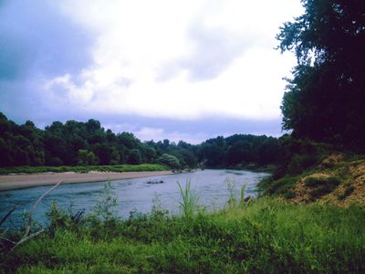
Ouachita River, Major river system in Arkansas and Louisiana, United States.

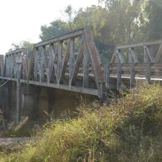
The Ouachita River is a major waterway that flows 605 miles from the highlands of Arkansas through Louisiana, eventually joining the Tensas River to form the Black River. Five locks and dams along the course manage water flow and allow boats to navigate through the system.

Native American tribes including the Ouachita, Caddo, Osage, and Chickasaw lived along this waterway for centuries before European settlement began in the late 1700s. Starting in 1819, steamboats connected communities and moved cotton and other goods between regional markets.

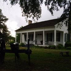
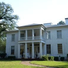
The river served as a lifeline for settlements scattered along its course, with communities forming to benefit from the trade flowing through the region. Boat traffic shaped daily life in towns that depended on goods and people moving downriver.

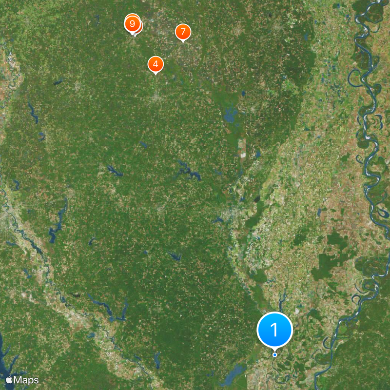
The river is managed at five different points—Camden, Calion, Felsenthal, Columbia, and Jonesville—where locks allow boat traffic to pass through. If you plan to travel on the water, keep in mind that water levels can shift with the season and weather conditions.

The river system includes three major reservoirs in its upper portion—Lake Ouachita, Lake Hamilton, and Lake Catherine—each created by separate dams. These lakes offer a different experience from the river itself and attract visitors for recreation and water activities.

The community of curious travelers

AroundUs brings together thousands of curated places, local tips, and hidden gems, enriched daily by 60,000 contributors worldwide.

Start exploring
Location
Location
GPS coordinates
31.63140,-91.80690
Latest update
December 20, 2025 16:10
Around this place
Fort Southerland
United States of America

Fort Southerland

236.1 km
Camden Expedition Sites National Historic Landmark
United States of America

Camden Expedition Sites National Historic Landmark

237.8 km
J.T. Murphy No 1 Crater
United States of America

J.T. Murphy No 1 Crater

207.1 km
Camden Confederate Monument
United States of America

Camden Confederate Monument

237.7 km
Fort Lookout
United States of America

Fort Lookout

239.5 km
Hampton Waterworks
United States of America

Hampton Waterworks

221.1 km
McCollum-Chidester House
United States of America

McCollum-Chidester House

238.1 km
Sidney A. Umsted House
United States of America

Sidney A. Umsted House

237.9 km
Rumph House
United States of America

Rumph House

238 km
Ouachita County Courthouse
United States of America

Ouachita County Courthouse

237.6 km
Bragg House
United States of America

Bragg House

240 km
Oakland Farm
United States of America

Oakland Farm

234 km
Ben Laney Bridge
United States of America

Ben Laney Bridge

238.5 km
Willett House
United States of America

Willett House

204.5 km
Calhoun County Courthouse
United States of America

Calhoun County Courthouse

221.2 km
Two Bayou Methodist Church and Cemetery
United States of America

Two Bayou Methodist Church and Cemetery

239 km
Leake–Ingham Building
United States of America

Leake–Ingham Building

238.2 km
Capt. John T. Burkett House
United States of America

Capt. John T. Burkett House

221.7 km
Elliott-Meek House
United States of America

Elliott-Meek House

238 km
Hickman House
United States of America

Hickman House

231.2 km
D. McDonald House
United States of America

D. McDonald House

211.2 km
Dunn House
United States of America

Dunn House

222.3 km
Tate's Barn
United States of America

Tate's Barn

233.9 km
Graham-Gaughan-Betts House
United States of America

Graham-Gaughan-Betts House

238 km
Benjamin T. Powell House
United States of America

Benjamin T. Powell House

237.4 km
St. John's Episcopal Church
United States of America

St. John's Episcopal Church

237.9 km
Hampton Masonic Lodge Building
United States of America

Hampton Masonic Lodge Building

221.2 km
Richmond-Tufts House
United States of America

Richmond-Tufts House

243 km
Show the full map
Reviews
Share your experience

No review yet

Discussions
Start a discussion...

No discussion yet

« Ouachita River - Major river system in Arkansas and Louisiana, United States » is provided by Around Us (aroundus.com). Images and texts are derived from Wikimedia project under a Creative Commons license. You are allowed to copy, distribute, and modify copies of this page, under the conditions set by the license, as long as this note is clearly visible.

Discover hidden gems everywhere you go!

From secret cafés to breathtaking viewpoints, skip the crowded tourist spots and find places that match your style. Our app makes it easy with voice search, smart filtering, route optimization, and insider tips from travelers worldwide. Download now for the complete mobile experience.

Around Us App Screenshot

A unique approach to discovering new places

Le Figaro

All the places worth exploring

France Info

A tailor-made excursion in just a few clicks

20 Minutes

Around Us
Travel Guide & Maps
Download

Send to your phone

QR Code
1

Open the camera app on your mobile.

2

Point at the QR code with your camera. A notification will appear.

3

Tap the notification to open the link.